

2012 Halloween Frankenstorm: Washington May Be First Big US City To Be Whipped By Hurricane Sandy's Winds

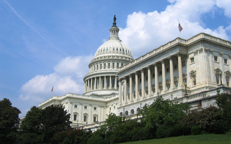
Washington: First in war, first in peace, first in the National League East -- and, quite possibly, first in a string of big cities on the U.S. East Coast to feel the lash of Hurricane Sandy in a significant way.
Forecasters anticipate the Frankenstorm's heavy rain will begin Sunday night, with even heavier rain starting Monday night, according to Weather Underground. They expect rainfall totals between 3 and 6 inches, with greater amounts possible in some areas of the city.
With speeds from 35 to 45 mph -- and gusts as high as 60 mph -- Hurricane Sandy's strongest winds in the nation's capital are predicted to arrive Monday afternoon and depart Tuesday, the weather site reported.
Because of the magnitude of the Frankenstorm's wind field, the duration of the event could be comparatively lengthy, which would contribute to the anticipated flooding in proximity not only to smaller creeks and streams but also to larger rivers in and around the city.
All three of Hurricane Sandy's signature elements -- rain, wind, and flooding -- make power outages a likelihood.
To combat the expected effects of the Frankenstorm, Washington's No. 1 employer -- the U.S. government -- will have all its offices closed Monday. Nonemergency employees will be granted administrative leave, while emergency employees will be required to report to work, according to the Washington Post.
The District of Columbia's government offices, mass-transit services, and public schools also will be closed Monday, the Post reported.
In addition, early voting in Washington has been canceled for Monday, the Post said.
© Copyright IBTimes 2024. All rights reserved.
-

IMF Says Global Debt Levels Face 'Great Election Year' Risk
-

Divisions Among Colombia's FARC Dissidents Complicate Peace Talks
-

French Far Right Gets Youthful Vibe With 28-year-old Leader
-

US Fed's Powell Says Inflation Fight May Take 'Longer Than Expected'
-

Mideast-related Oil Price Spike Threatens 'Relatively Good' Economic Outlook: IMF Chief Economist
-

Wine Growers 'On Tip Of Africa' Race To Adapt To Climate Change
-

Despite Olympic Truce, Games Wrestle With Political Fallout
-

What Will The Fed Do With The Latest Inflation Numbers?
-

US Retail Sales Up More Than Expected In March
-

Alexandre De Moraes: Brazil Judge In Feud With Elon Musk


