

Can Satellite Imagery Solve Africa's Worst Problems? DigitalGlobe Tracks Trouble Across The Continent
On the African continent, conflicts are often hard to define, pin down or contain. Political, ethnic or religious clashes often involve a kaleidoscope of groups, shifting alliances and varying aims -- not to mention deadly bloodshed, societal disruption and massive displacement.
But what if you could use science and technology to map out conflicts across the continent, simplifying intelligence efforts and providing life-saving data for humanitarian groups or peace workers -- all in real time?
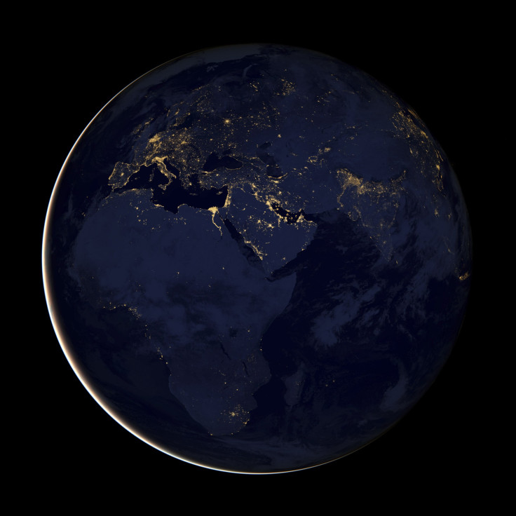
That daunting task has been taken up by DigitalGlobe, a company headquartered in Colorado, which uses satellite imagery to "support a wide variety of uses within defense and intelligence, civil agencies, mapping and analysis, environmental monitoring, oil and gas exploration, infrastructure management, Internet portals and navigation technology."
Africa is an area of particular focus for DigitalGlobe this year, since it is a continent beset by conflicts that can be difficult to assess using traditional, on-the-ground methods.
“This year we started developing comprehensive country-by-country datasets that include anything that touches human existence on this planet,” Andre Kearns, DigitalGlobe's senior director of marketing, told VentureBeat.
The images collected by DigitalGlobe's constellation of satellites -- which can capture 60 percent of the world's landmass over a span of one month -- deliver crucial information about infrastructure, displacement, ethnic boundaries, weather events, environmental degradation and more. The company also offers analysis to help security forces, aid workers or intelligence teams decipher the satellite imagery.
The technology can also be used for predictive purposes. By compiling heaps of data and then searching for patterns, imagery analysts can extrapolate the likelihood of future events and help prevent fatal or costly incidents.
"You can see where major events are most likely to occur in specific areas," Kearns told VentureBeat. "For example, narrowing a metro area concerned with criminal activity from 1,000 square feet to 100 square feet is useful for military, law enforcement, or companies concerned about security to inform where they apply limited security resources and help protect lives.”
This is not DigitalGlobe's first foray into Africa. The company was a partner in the Satellite Sentinel project spearheaded by actor George Clooney in 2010. Its imagery was used by advocacy groups to spread information about human atrocities in what is now the border region between Sudan and South Sudan. (The project gained even more attention last year when Clooney was arrested during a protest at the Sudanese embassy in Washington).
For a continent plagued by endemic clashes and security threats -- ranging from ongoing rebel activities in the eastern Congo to arable land degradation in the Sahel to oil theft in Nigeria -- this information could become a valuable tool in the arsenals of aid workers and security forces.
© Copyright IBTimes 2024. All rights reserved.
-

Bitcoin And Crypto Price Review - Another Myth Gets Busted?
-

Mass Cancellations Loom Despite French Air Union Cancelling Strike
-

Mired In Crisis, Boeing Reports Another Loss
-

Recycled 'Zombie' Misinformation Targets US Voters
-

Hackers Leak Part Of Source Code Of El Salvador's Bitcoin Wallet
-

Azerbaijan Says 'Closer Than Ever' To Armenia Peace Deal Amid Border Talks
-

How UK's Biggest Water Supplier Sank Into Crisis
-

Taiwan Hit By Dozens Of Strong Aftershocks From Deadly Quake
-

Gaza Health System 'Completely Obliterated': UN Expert
-

In Ecuadoran Amazon, Butterflies Provide A Gauge Of Climate Change


