

Crimea Is Marked Differently In English And Russian Google Maps

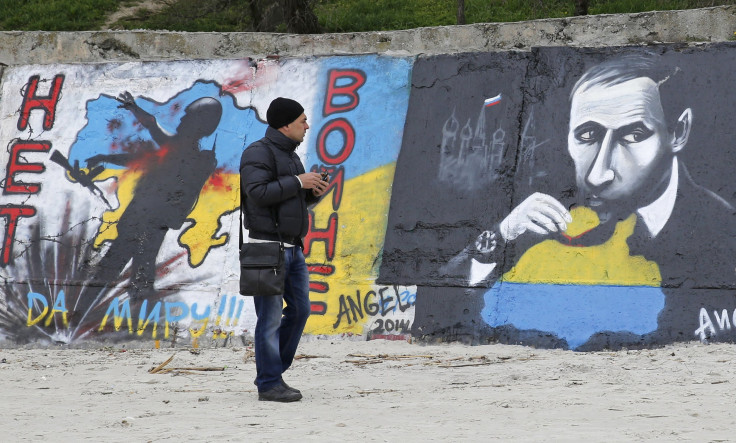
The Russian news outlet RT discovered an interesting difference between the Russian and English-language versions of Google maps. In Russia, the controversially annexed Crimean peninsula is listed as part of Russia, while a number of international versions of Google maps show it as a disputed territory.
Interestingly, while Crimea is labeled as part of Russia on the map, it's described as “Crimea, Ukraine” when using the search bar. Cities in Crimea are labeled as part of Ukraine in the search bar as well.
Below you can see the Russian version of Google Maps, which shows a solid international border line between Crimea and mainland Ukraine:
And here's the English version. The dotted line means the territory is disputed:
Svetlana Anurova, of Google Russia, told the Russian news agency ITAR-TASS that, “The Google Maps team is doing its best to objectively mark disputed regions and landmarks. In relevant cases the borders of disputed areas are marked in a special way. In countries where we have a localized version of our service, we follow local laws on representing borders and use of landmark names.”
In other words, Google goes by what the official stance is in the country where its servers are located. According to John Gravois, deputy editor of Pacific Standard Magazine in Berkeley, Calif., there are more than 30 unique versions of Google Maps.
Interestingly, South Ossetia and Abkhazia, two territories disputed between Russia and Georgia are identical in the Russian and English-language versions of Maps. Both versions treat Abkhazia as disputed and mark South Ossetia as just another province in Georgia.
One commenter on the RT article claimed that Crimea was shown as part of Russia in the Brazilian version of maps as well, but that's false, the Brazilian version shows Crimea the same as in the English version.
U.S. Senator Dan Coats, R-Ind., introduced legislation on Wednesday that would ban the Government Printing Office from printing any document or map "indicating Crimea as part of the territory of the Russian Federation."
Coats' legislation also imposes economic sanctions and bans on Russia such as not allowing ships to arrive in the U.S. from Crimea that are carrying Russian goods. Coats also wants to forbid U.S. economic or military aid from going to a country that recognizes Russia's annexation of Crimea, which for now are Syria, Afghanistan and Venezuela.
© Copyright IBTimes 2024. All rights reserved.
-

Taiwan Hit By Dozens Of Strong Aftershocks From Deadly Quake
-

Gaza Health System 'Completely Obliterated': UN Expert
-

In Ecuadoran Amazon, Butterflies Provide A Gauge Of Climate Change
-

50 Years On, Vintage Vehicles To Reenact Portugal's Carnation Revolution
-

Conflicts Push Military Spending To 'All-time High': Report
-

'Thank You, America:' Zelensky And Netanyahu Applaud House Passage Of Foreign Aid Package
-

Women Journalists Bear The Brunt Of Cyberbullying
-
US Aid Shows Ukraine Will Not Be 'Second Afghanistan': Zelensky
-

Elon Musk's X Fights Australian Watchdog Over Church Stabbing Posts
-

Ukraine, Israel, TikTok: The Massive Aid Package Before US Congress


