

Ever Wonder How To Read Satellite Images? Tips To Interpret Satellite Images From NASA

Did you ever want to learn to read a map? How about learning topography? Well, NASA’s Earth Observatory offers tips and strategies for interpreting several kinds of satellite images.
Look for patterns, shapes, and textures
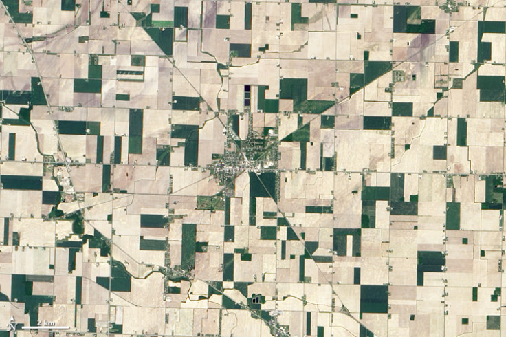
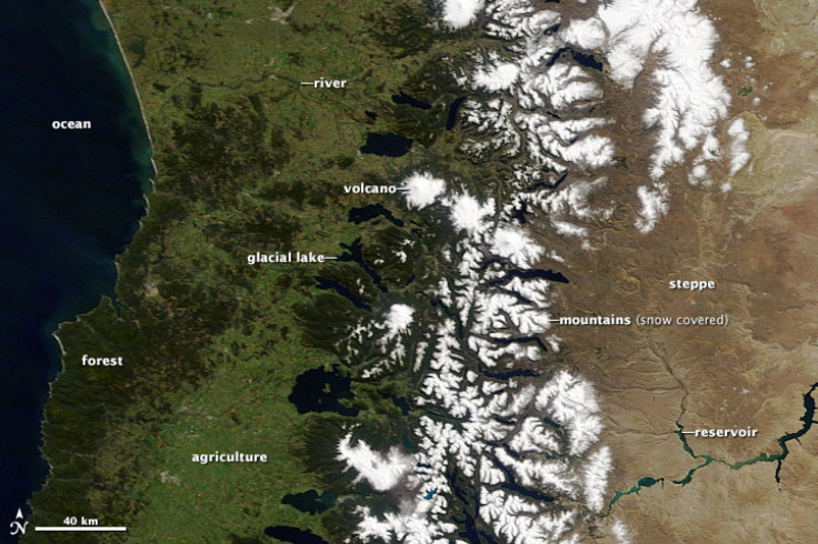
A key skill to develop is recognizing distinctive patterns on maps to identify specific features. For example, rivers, lakes and oceans have a multitude of possible shapes. Farms usually have a geometric shape, like a circle or rectangle, unlike the patterns in nature, which are random. For example, when a forest is cut down the path is usually square or has a series of herring-bone-like lines that form along roads. Any straight line in an image is most likely human-made, which could be a road, canal, or some kind of boundary made visible by land use. Geology's marks on the landscape are usually easy to find; volcanoes and craters are circular, and mountains ranges tend to run in long wavy lines. These geological features create visible textures. Canyons are squiggly lines framed by shadows, and mountains look like wrinkles or bumps from above.
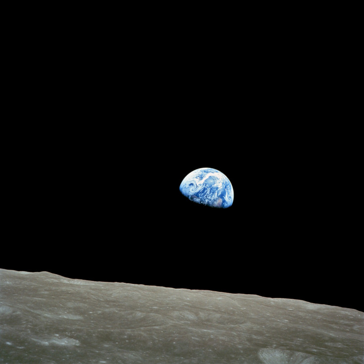
What about the topography? The features explained above can affect clouds by influencing the flow of air in the atmosphere. Mountains force air up where it is cool, and islands create turbulence that results in swirling cortices or wakes in the clouds.
Define Colors
When observing water from space, the color usually appears black or dark blue because the sediment reflects light, which colors the water.
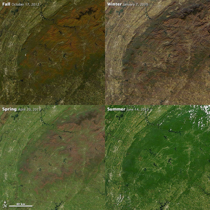
Plants have different shades of green; grasslands tend to be a pale green while forests tend to be a dark green. Land for agriculture is usually brighter than natural vegetation. Plant colors change with seasons. In spring, the vegetation usually is paler than summer vegetation when it is more dense. Fall vegetation can be red, orange, yellow and tan.
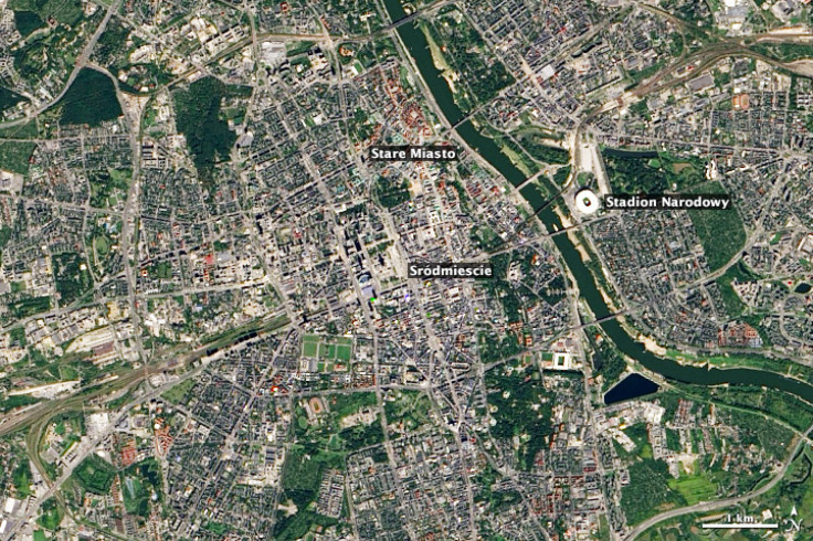
When looking at cities, densely built areas are usually silver or gray from the concentration of concrete. The contrast between Warsaw’s modern and historic neighborhoods is easily visible by satellite.
© Copyright IBTimes 2024. All rights reserved.
-

Ukraine, Israel, TikTok: The Massive Aid Package Before US Congress
-

Eiffel Tower Loses Sparkle For Parisians Ahead Of Olympics
-

Former Number One Momota Retires From International Badminton At 29
-

Why Insurance Prices Have Skyrocketed
-

World Bank Aiming To Connect 250 Mn Africans To Energy Grid By 2030
-

IMF Says Global Debt Levels Face 'Great Election Year' Risk
-

Divisions Among Colombia's FARC Dissidents Complicate Peace Talks
-

French Far Right Gets Youthful Vibe With 28-year-old Leader
-

US Fed's Powell Says Inflation Fight May Take 'Longer Than Expected'
-

Mideast-related Oil Price Spike Threatens 'Relatively Good' Economic Outlook: IMF Chief Economist


