How NASA satellite images helped fight Arizona wildfire (PHOTOS)
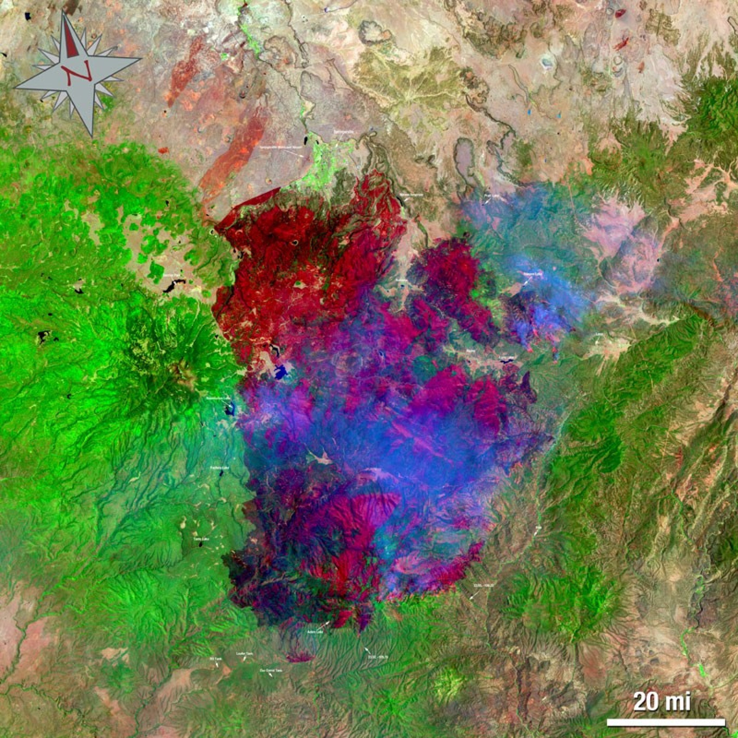
The largest wildfire in Arizona's history was 33 percent contained on Friday, report said. NASA’s Landsat 5 satellite data helped the emergency managers fight the flare.
The Wallow fire began on May 29, 2011 in the Bear Wallow Wilderness area located in eastern Arizona and by June 14, the fire, combined with high winds and low humidity, charred about 487,016 acres.
The Earth-observing satellite captured images of the fire as shown below:


© Copyright IBTimes 2024. All rights reserved.
Join the Discussion
Editor's pick


