

Hurricane Irene Gathers Power on Path Toward East Coast
Hurricane Irene strengthened to a major Category 3 hurricane over the Bahamas on Wednesday as it roared up from the Caribbean on a path expected to swipe the East Coast from the Carolinas upward at the weekend.
Irene, the first hurricane of the 2011 Atlantic season and the first this year to seriously threaten the United States, was expected to intensify further over the coming days as it swept over the low-lying Bahamas. The U.S. National Hurricane Center warned of an extremely dangerous storm surge.
Forecasters see Irene striking North Carolina's Outer Banks region on Saturday afternoon and then taking a coast-hugging track up the U.S. mid-Atlantic and New England coastline.
Even if the center of the storm stays offshore, the hurricane could lash cities including Washington and New York with winds and rain and cause coastal flooding and power outages.
Irene will be a large storm, impacting areas far from the storm center track, hurricane expert Jeff Masters of private forecaster Weather Underground wrote in his blog.
But as forecasts of more than four days can have a margin of error of up to 200 miles, U.S. emergency officials have warned the entire U.S. East Coast to be on the alert for what they describe as a large and potentially dangerous storm.
East Coast residents were already jittery after a 5.8 magnitude earthquake rattled Washington and cities from the Carolinas to Canada on Tuesday.
At 8 a.m. EDT, Irene was carrying winds of 115 miles per hour (185 km per hour) and was located about 55 miles southeast of Acklins Island in the Bahamas and about 335 miles southeast of Nassau, the capital of the Atlantic archipelago southeast of Florida, the Miami-based NHC said.
The wind speed made it a major Category 3 hurricane on the five-step Saffir-Simpson intensity scale, posing a high risk of injury and death from flying and falling debris.
Forecasters see Irene swinging north from Thursday, sparing Florida and Georgia from a direct impact and swinging up toward North Carolina's jutting Cape Hatteras where the Outer Banks barrier islands are often battered by storms.
If Irene makes a direct landfall, it will be the first hurricane to hit the United States since Ike pounded the Texas coast in 2008. But forecasts showed it posing no threat to U.S. oil and gas installations in the Gulf of Mexico.
WOMAN SWEPT AWAY IN PUERTO RICO
will move over or near the Outer Banks of North Carolina as a weak Category 4 or a strong Category 3 hurricane, said Dan Kottlowski, a hurricane expert from private forecaster AccuWeather.com.
AccuWeather said Irene would strike the Outer Banks on Saturday afternoon or evening, but the hurricane's pounding on the eastern Carolinas would begin much sooner.
In North Carolina, Governor Bev Perdue urged residents to ensure they had three days worth of food, water and supplies.
Voluntary evacuations were to begin on Wednesday for parts of the Outer Banks, whose beaches are popular summer holiday spots.
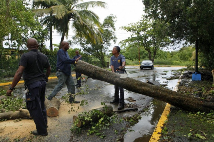
Irene drenched the northeastern Caribbean islands earlier in the week. The first death from the storm was reported on Tuesday in Puerto Rico, where a woman was swept away.
Heavy rains continued to pelt the U.S. Caribbean territory, causing flooding and mudslides. Nearly 300,000 residents were without electricity and 58,000 were without water.
© Copyright Thomson Reuters 2024. All rights reserved.
-

French Air Traffic Controller Strike Threatens Flight Chaos
-

Azerbaijan Says 'Closer Than Ever' To Armenia Peace Deal Amid Border Talks
-

How UK's Biggest Water Supplier Sank Into Crisis
-

Taiwan Hit By Dozens Of Strong Aftershocks From Deadly Quake
-

Gaza Health System 'Completely Obliterated': UN Expert
-

In Ecuadoran Amazon, Butterflies Provide A Gauge Of Climate Change
-

50 Years On, Vintage Vehicles To Reenact Portugal's Carnation Revolution
-

Conflicts Push Military Spending To 'All-time High': Report
-

'Thank You, America:' Zelensky And Netanyahu Applaud House Passage Of Foreign Aid Package
-

Women Journalists Bear The Brunt Of Cyberbullying


