

Hurricane Irene North Carolina: Waves Crashing on Coast As Evacuation Continues
Hurricane Irene has made its presence in North Carolina known through waves crashing on the coast, although the storm is not expected to make landfall until Saturday afternoon.
Reportedly, waves of up to 8 feet have been seen on Friday morning from Myrtle Beach, S.C. up to the Outer Banks.
With winds raging at up to 120 miles per hour, forecasters believe Irene will hit anywhere between Cape Hatteras and Morehead City along the Outer Banks.
According to local media reports, as of 5 a.m. (EDT) Friday, Irene was about 420 miles south of Cape Hatteras and migrating north at about 14 miles per hour.
The National Hurricane Center (NHC) reported that its aircraft identified a 20-mile-wide ‘eye’ in Irene, while gale-force winds reach out from 90 miles from its center.
Irene should be near the Category-3 level when it approaches the North Carolina coast, Jack Beven, senior hurricane specialist of NHC, told reporters.
An extremely dangerous storm surge will raise water levels by as much as 6 to 11 feet above ground level in the hurricane warning area in North Carolina.”
Beven added that rainfall of between 6 and 10 inches are expected to be dumped on the eastern part of North Carolina – in some areas, up to 15 inches is possible.
Max Mayfield, the former head of NHC, told reporters: One of my greatest nightmares was having a major hurricane go up the whole Northeast coast. This is going to have an impact on the United States economy.
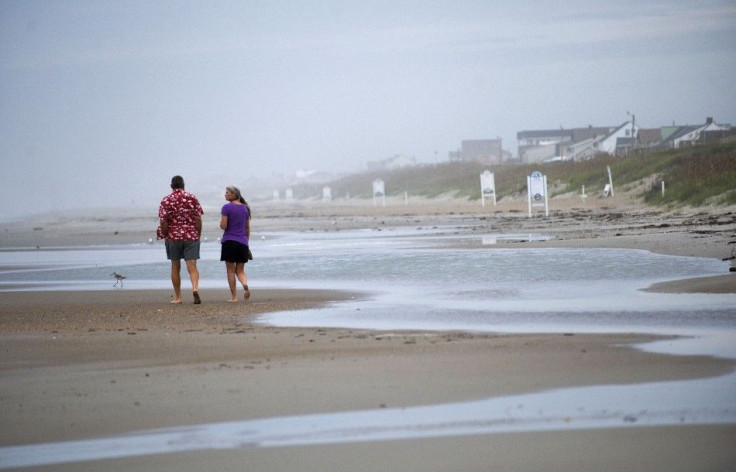
Meanwhile, thousands of people are evacuating the popular tourist areas along the Outer Banks, under evacuation orders (both voluntary and mandatory) toward inland areas.
Local hotel and hospitality officials expect a huge surge of sudden new arrivals fleeing the coast.
© Copyright IBTimes 2024. All rights reserved.
-

Bitcoin And Crypto Price Review - Another Myth Gets Busted?
-

Mass Cancellations Loom Despite French Air Union Cancelling Strike
-

Mired In Crisis, Boeing Reports Another Loss
-

Recycled 'Zombie' Misinformation Targets US Voters
-

Hackers Leak Part Of Source Code Of El Salvador's Bitcoin Wallet
-

Azerbaijan Says 'Closer Than Ever' To Armenia Peace Deal Amid Border Talks
-

How UK's Biggest Water Supplier Sank Into Crisis
-

Taiwan Hit By Dozens Of Strong Aftershocks From Deadly Quake
-

Gaza Health System 'Completely Obliterated': UN Expert
-

In Ecuadoran Amazon, Butterflies Provide A Gauge Of Climate Change


