

NASA Satellite Images Show Extent of Sendai Tsunami Flooding
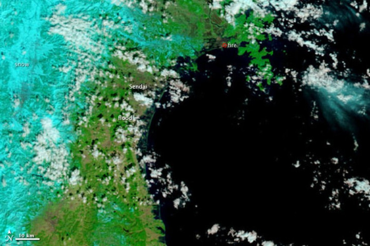
NASA's Earth Observatory team has published enhanced satellite images comparing before and after shots of the northeastern Japanese city of Sendai after a massive 8.9 magnitude earthquake and tsunami struck the coast, pointing out areas hit by flooding.
Both images were made with infrared and visible light, a combination that increases the contrast between muddy water and land, according to Holli Biebeek of NASA's Earth Observatory website.
In the image, water looks black or dark blue. (See images below)
One image from March 12, 2011 at 10:30 a.m. is compared with another from February 26, 2011.
The center of the March 12 photo shows a thin green line representing the Sendai coastline. The darker areas extend several kilometers to the west.
The center of the February 26 photo shows a solid coastline. Both images identify Sendai and the areas of flooding.
The image identifies the northern direction and shows a 10km scale line on the bottom left hand corner.
In the images, plant-covered land is green. Snow covered land is pale blue. Clouds are white and pale blue. Paved surfaces are brown.
The images come from the Moderate Resolution Imaging Spectroradiometer (MODIS) instrument aboard the NASA's Terra satellite.
-----
March 12, 2011 at 10:36 a.m.
February 26, 2011
© Copyright IBTimes 2024. All rights reserved.
-

Australia's Great Barrier Reef Struggles To Survive
-

Alexandre De Moraes: Brazil Judge In Feud With Elon Musk
-

Paris 2024 Games Flame To Be Lit In Ancient Olympia
-

How The US Helped Counter Iran's Attack On Israel
-

How The Premier League Title Race Stands With Six Games To Go
-
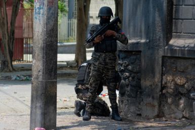
In Haiti, Political Parties Lash Out At PM Over Council Limbo
-

Police Probe Killer's Targeting Of Women In Sydney Mall Attack
-
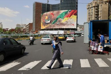
In Tehran, Fears Grow Of Potential Iran-Israel War
-

Stretched Valuations, Interest Rate Expectations, Make Stocks Vulnerable To Sell-offs
-

Funding Shortfall Threatens Internet Access For Millions Of Low-Income Americans


