

Southern California Wildfire Triggers High Risk Of Flash Floods: National Weather Service
Burn scars in the wildfire scorched region of Southern California has elevated the risk of flash flooding and debris flow, said the National Weather Service.
According to the NWS, rain water that normally gets absorbed into the soil will run off extremely quickly after a wildfire as burned soil become water repellent. The susceptibility to flash flood within the burned area is greatest during the first two years following the fire. It would be difficult to absorb water when the land is devoid of moisture for a long spell. As water runs downhill through burned areas it can create major erosion and pick up large amounts of ash, sand, silt, rocks and burned vegetation (Trees), the agency stated.
A report from live sciences states, West Coast is vulnerable to mudslides due to weaker rocks and steeper mountains in the region. The basic components for a mudslide are large areas of unconsolidated rock, steep mountain slopes, and areas with shallow water tables that quickly become saturated with rain or snow water, particularly during short but intense spurts of precipitation. Apart from California, Washington and Utah are susceptible to mudslides. The largest landslide recorded in North American history was most likely one that occurred in Bingham Canyon, outside of Salt Lake City, Utah on April 10, 2013.
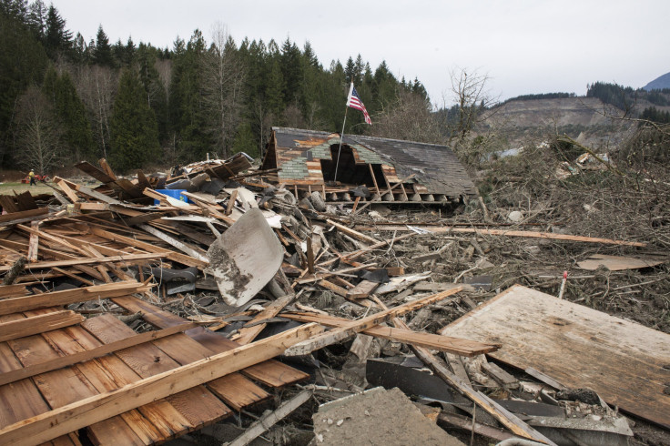
In the aftermath of scorching wildfire that swept through the state, Californians now have to brace against the threat of mudslides caused due to raging rainstorm in the West Coast. Thousands of people from Southern California were ordered to evacuate.
The NWS said, “If you live in the recent burn areas including the Thomas, Creek, and LA Tuna burn areas, there is a high probability that debris flows will occur Monday night into Tuesday, when highest rainfall rates are expected.”
Flash Flood Watch in effect Monday Night-Tuesday for recent burn areas of SBA, Ventura, LA counties. Significant threat for flash flooding/debris flows. Peak rainfall rates 0.50-1.00 inch per hour. Make preparations now and follow directions of local officials. #CAstorm #LArain pic.twitter.com/C0iYz6nBjS
— NWS Los Angeles (@NWSLosAngeles) January 7, 2018
Since wildfire wiped out the vegetation in the area there is an elevated risk of mudslides threatening the charred counties of Ventura and Santa Barbara where the Thomas fire scorched the land in December 2017.
The wildfire that plundered through the Ventura County and Santa Barbara County in Southern California claimed the life of one firefighter and destroyed 281,260 acres of land, CNN reported.
More than 1000 firefighters from Orlando, Utah and Oregon Idaho were deployed to battle the largest wildfire. Evacuation orders were issued in the areas below the Thomas, Whittier, Sherpa and Rey Fire Burn Areas. A voluntary Evacuation Warning was issued for parts of Tepusquet Canyon near the Alamo Fire Burn Area, east of Santa Maria.
A press release issued by the County Executive Office of Santa Barbara stated that storm was expected to produce heavy rain, high winds, and extremely dangerous flash flooding, mud and debris flows in and below recent burn areas. Residents were asked to heed the advice of flash flood warnings and take precaution against the rain storm.
© Copyright IBTimes 2024. All rights reserved.
-

Bitcoin And Crypto Price Review - Another Myth Gets Busted?
-

Mass Cancellations Loom Despite French Air Union Cancelling Strike
-

Mired In Crisis, Boeing Reports Another Loss
-

Recycled 'Zombie' Misinformation Targets US Voters
-

Hackers Leak Part Of Source Code Of El Salvador's Bitcoin Wallet
-

Azerbaijan Says 'Closer Than Ever' To Armenia Peace Deal Amid Border Talks
-

How UK's Biggest Water Supplier Sank Into Crisis
-

Taiwan Hit By Dozens Of Strong Aftershocks From Deadly Quake
-

Gaza Health System 'Completely Obliterated': UN Expert
-

In Ecuadoran Amazon, Butterflies Provide A Gauge Of Climate Change


