

Where Is Malaysia Airlines Flight MH370? Disappearance Reveals Flaws In Plane Radar Tracking

If you have a sense of déjà vu over the bizarre disappearance of Malaysia Airlines flight MH370, you’d probably recall the case of Air France Flight 447, which mysteriously vanished over the Atlantic Ocean in June 2009. The Airbus A330 airliner, en route from Rio de Janeiro to Paris, plunged into the ocean with 228 people on board. Although debris was recovered from the surface five days after the crash, it was nearly two years before search teams located the bulk of the wreckage.
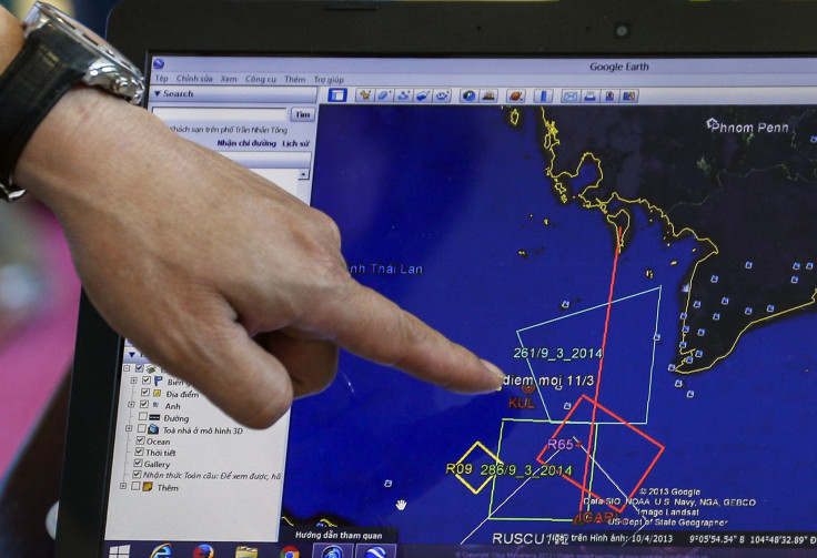
The search for Malaysia 370 is well into its fourth day, and there’s still no sign of the plane. Experts speculate about what could have happened to the Boeing 777, presumed to have crashed, and the 239 people who went down with it. Was it a mechanical failure? A bomb? Was the plane hijacked? As each day passes, the truth behind what happened to the plane seems to drift further beyond the horizon.
One question being raised around the Internet is how, in the age of advanced tracking technology, can a giant Boeing 777 simply go missing? We can pinpoint the location of a smartphone to within a few meters; why can’t we keep tabs on something the size of several school buses?
In short, it’s time for aircraft tracking technology to get an upgrade. Washington Post writer Brian Fung notes that radar, which traffic controllers use to monitor an aircraft’s progress, only goes so far. There are no radar stations in the middle of the ocean -- that’s why pilots flying over water often stay in touch with ground control by sending out periodic radio signals.
Basically, pilots fly from checkpoint to checkpoint and confirm to air traffic control once they’ve reached them. But why aren’t aircraft beaming real-time flight data back to people on the ground?
According to Extreme Tech, the answer partly lies with the fact that aircraft are constantly generating a lot of data, but no one’s worked out a way of receiving and storing that data in a logical format.
“Perhaps, much like how your smartphone waits for a WiFi connection before downloading or uploading large amounts of data, the plane could scale up how much data it sends,” Extreme Tech notes. “It could transmit basic flight data at all times via [very high frequency radio], and then a full stream of data from the FDR [flight data recorder] when there’s a communications satellite overhead.”
The key to improving aircraft tracking technology is GPS. Switching from a ground system based on traditional surveillance radar to a ground-satellite system would give air traffic control unprecedented means to monitor aircraft.
“The technology exists, but it just hasn’t been employed by most planes,” Richard Hayden, director of Flyht, a Canadian company that developed a way of monitoring aircraft anywhere in the world, told Kevin Newman Live. “The technology of our company uses GPS signal… The accuracy depends on the chip and the satellite. Military accuracies are extremely precise.”
The U.S., for one, plans to introduce NextGen – a satellite-based air traffic control system – by 2025. But switching to satellite communication is costly, and it’s still a long way from being universal.
© Copyright IBTimes 2024. All rights reserved.
-

Mideast-related Oil Price Spike Threatens 'Relatively Good' Economic Outlook: IMF Chief Economist
-

Wine Growers 'On Tip Of Africa' Race To Adapt To Climate Change
-

Despite Olympic Truce, Games Wrestle With Political Fallout
-

What Will The Fed Do With The Latest Inflation Numbers?
-

US Retail Sales Up More Than Expected In March
-

Australia's Great Barrier Reef Struggles To Survive
-

Alexandre De Moraes: Brazil Judge In Feud With Elon Musk
-

Paris 2024 Games Flame To Be Lit In Ancient Olympia
-

How The US Helped Counter Iran's Attack On Israel
-

How The Premier League Title Race Stands With Six Games To Go


