

New York Is Frozen Pictures: Photos Of Freezing NYC As Cold Winter Weather Prevails

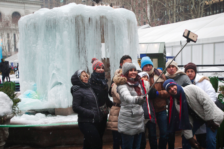
New York is experiencing one of the coldest winters most residents can remember. After the city and much of the state got a brief taste of spring over the weekend, the frigid arctic weather returned Monday. Temperatures could plummet as low as single digits Monday night and the wind chill could bring numbers into the subzero territory, according to DNAinfo.com.
For the rest of this week, temperatures won’t be higher than the 30s and there’s a chance of more snow Friday.
"Sooner or later the weather has to match what's happening. ... We are becoming more tilted toward the sun," National Weather Service meteorologist John Murray told DNAinfo. "It'll be tougher to get these very cold air masses to stay within the region."
The mercury will rise in March but will still be unusually low. “Temperatures from the Midwest to the Northeast will still average below normal, but they will be much less extreme,” Brett Anderson, senior meteorologist at AccuWeather.com, told the Delaware County Daily Times. “Indications are the pattern will change next week so that the cold is much less severe from the Midwest to the Northeast.”
That’s great news for people living along Chesapeake Bay. There’s so much ice there that Virginia’s Tangier Island has been unable to receive seaport provisions, the Washington Post reported Monday. The Army National Guard has stepped in to help bring deliveries. The ice might begin to melt in the next two weeks so ships will be able to get through, the National Ice Center said.
Follow me on Twitter @mariamzzarella
© Copyright IBTimes 2024. All rights reserved.
-

Oil: 'Mother Of Corruption' In Venezuela
-

'Extreme' Climate Blamed For World's Worst Wine Harvest In 62 Years
-

Macron Warns 'Mortal' Europe Needs Credible Defence
-

Bitcoin And Crypto Price Review - Another Myth Gets Busted?
-

Mass Cancellations Loom Despite French Air Union Cancelling Strike
-

Mired In Crisis, Boeing Reports Another Loss
-

Recycled 'Zombie' Misinformation Targets US Voters
-

Hackers Leak Part Of Source Code Of El Salvador's Bitcoin Wallet
-

Azerbaijan Says 'Closer Than Ever' To Armenia Peace Deal Amid Border Talks
-

How UK's Biggest Water Supplier Sank Into Crisis


