

Scientists Develop New Tool to Predict Earthquakes
The 8.9-magnitude earthquake that struck Japan's Pacific Coast on Friday afternoon, triggered off a wave of destruction with a subsequent tsunami, besides fires and landslides.
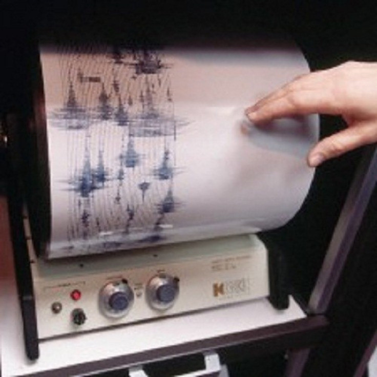
Such is the devastating effect of earthquakes, which are not easy to predict and can wreak significant damage to life and property.
Now, researchers have developed a new tool called fossil seismograph that helps better predicting of future earthquakes by studying earthquakes of the ancient past.
Prof. Shmuel Marco of Tel Aviv University's Department of Geophysics said the new tool would help geophysicists and other researchers understand patterns of seismic activity in the past.
Marco says the new tool is relevant to areas where earthquakes affect bodies of water, like the West Coast of the United States. It also can help engineers understand what's at risk when they plan new hydroelectric power plants.
Current seismographical data on earthquakes only reaches back a century or so, says Prof. Marco. Our new approach investigates wave patterns of heavy sediment that penetrates into the light sediments that lie directly on top of them. This helps us to understand the intensity of earthquakes in bygone eras - it's a yardstick for measuring the impact factor of earthquakes from the past, Marco said in a statement.
The researchers took a highly technical look at layers of mud at the Dead Sea and they found that layers were originally stratified in a very stable manner, but now heavier sediment appears to have been pulled up into the lighter sediment.
The researchers propose that the physics governing the sediment patterns is similar to a phenomenon found in clouds and sea waves but in the case of rocks it was the earthquake shaking (rather than wind) that triggered the formation of waves.
Earthquakes cause deformation in rocks and sediment. Using the basic principles of friction, the researchers considered the geometry of the shapes they found in the Dead Sea sediment and combined it with a number of other parameters found in physical science to calculate how earthquakes from the past were distributed in scale, time and place.
Marco said the tool is only relevant in earthquake zones that intersect with bodies of water such as lakes or the sea.
However, he said the tool could be very relevant to geologists studying earthquake patterns in areas like the Salton Sea in Colorado. The Salton Sea, only 100 years old, is located directly on the San Andreas Fault in California's Border Region.
The new research was published in the journal Geology.
© Copyright IBTimes 2024. All rights reserved.
-

Microsoft Expands Its AI Empire Abroad
-

Oil: 'Mother Of Corruption' In Venezuela
-

'Extreme' Climate Blamed For World's Worst Wine Harvest In 62 Years
-

Macron Warns 'Mortal' Europe Needs Credible Defence
-

Bitcoin And Crypto Price Review - Another Myth Gets Busted?
-

Mass Cancellations Loom Despite French Air Union Cancelling Strike
-

Mired In Crisis, Boeing Reports Another Loss
-

Recycled 'Zombie' Misinformation Targets US Voters
-

Hackers Leak Part Of Source Code Of El Salvador's Bitcoin Wallet
-

Azerbaijan Says 'Closer Than Ever' To Armenia Peace Deal Amid Border Talks


