

NOAA’s New Weather Satellite, GOES-17, Faces Cooling Problem
One of the most integral instruments of the United States National Oceanic and Atmospheric Administration’s (NOAA) latest weather satellite, GOES-17, has suffered a critical malfunction, which could potentially affect most of its forecast in the near future.
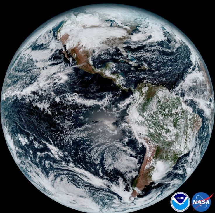
The satellite, launched as the successor of GOES-16 or GOES-EAST in March, is aimed at photographing weather conditions, fires, lightning strikes, and other atmosphere-related patterns over the U.S. west coast. However, a few weeks earlier, a routine in-orbit check of all onboard instruments revealed the satellite’s Advanced Baseline Imager (ABI) is facing a cooling problem.
ABI photographs Earth in visible and infrared light to detect water vapor and clouds, but in order to perform up to the mark, its detectors have to be cooled. For infrared and near-infrared wavelength length images, in particular, the temperature has to be below 60K or approximately -213 degrees Celsius. The satellite has a cooling system for this job, but did not perform as expected and is only achieving these temperatures 12 hours a day.
Pam Sullivan, NASA flight project manager for the GOES-R program, which includes the satellite in question, said the issue appears to be related to a cryocooler unit and its heat pipes.
“The heat pipes that transport heat from the cryocooler to the external radiator do not seem to be working as intended right now,” Sullivan told SpaceNews.
As a result, 13 infrared wavelength channels of the instruments are not functioning properly. Though this can seriously affect the work of the weather satellite, it does not mean it is completely useless. The remaining three channels, operating at the visible part of the spectrum, as well as all other instruments bundled with the satellite, do not appear affected from the cooling issue and can still capture some data for NOAA.
“This is a serious problem. This is the premier Earth-pointing instrument on the GOES platform,” Stephen Volz, head of NOAA’s Satellite and Information Service, said in a media teleconference. “If they are not functioning fully it is a loss, a performance issue we have to address.”
That said, experts from NOAA, NASA and ABI are investigating the issue and taking all possible measures to address the cooling glitch. Though they are hoping to address the system issue, NOAA has also said that if the efforts to get the cooling system are not successful, they will employ alternative concepts to maximize the functioning of Advanced Baseline Imager. And if nothing goes well, the instrument might end up providing only low-quality infrared data.
“The worst-case scenario does not mean we don’t have any channels in the infrared,” Volz added. “We are getting degraded performance on the infrared and near-infrared channels, not zero performance.”
Also, it is worth noting that even if the satellite isn’t fully restored, NOAA and weather forecast customers will still have sufficient weather-related data for day to day analysis. All other weather satellites operated by the agency as part of a geostationary constellation are healthy and monitoring weather across the nation each day. Meaning, there will not be any immediate effect from this glitch.
© Copyright IBTimes 2024. All rights reserved.
- MOST POPULAR IN Science


