Unseen pictures of Titanic on 100th year of launch (PHOTOS)
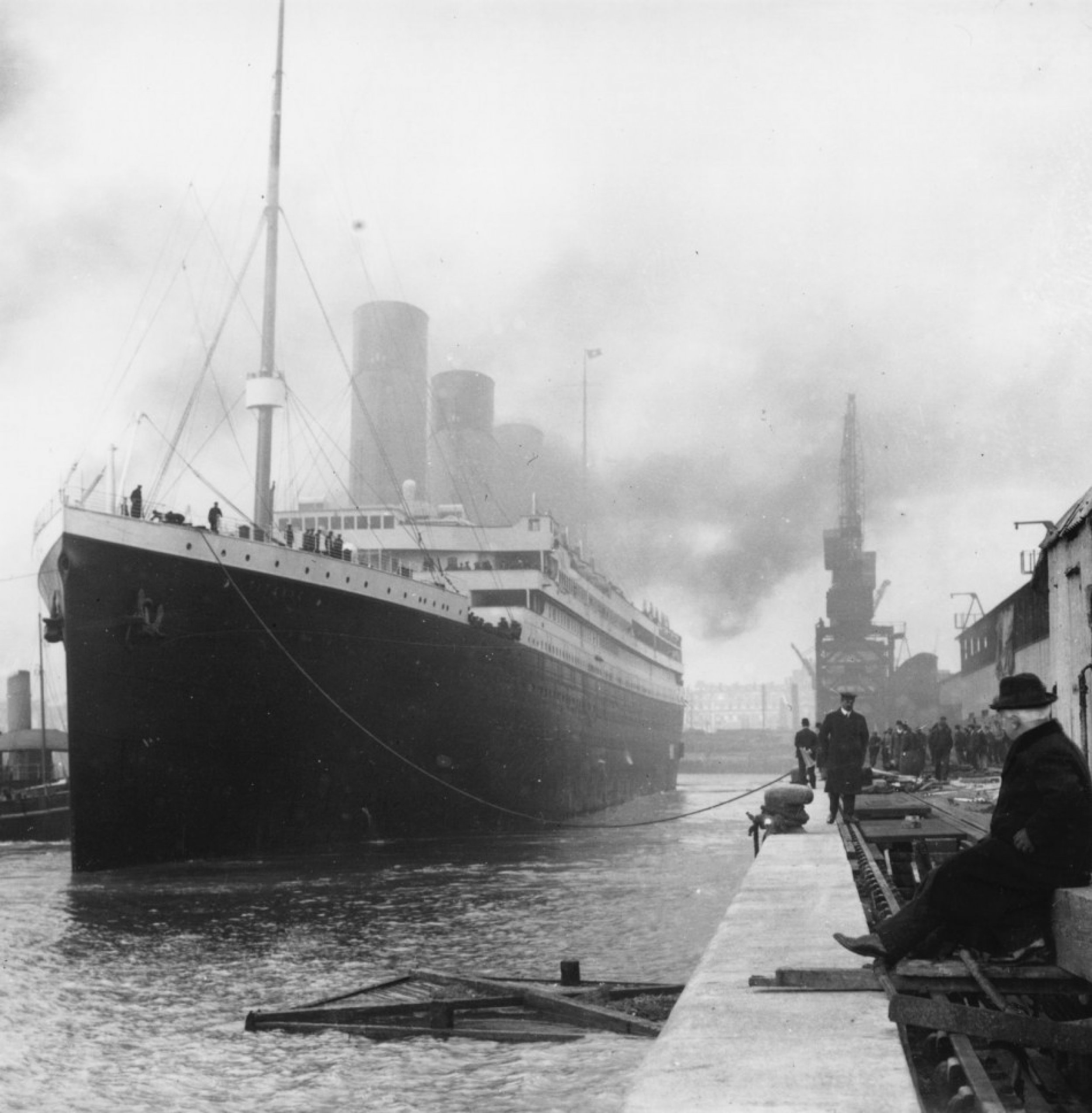
The year 2011 marks the centenary year of Titanic. Dubbed “Queen of the Ocean” and the “Unsinkable” ship, Titanic was launched by the shipyard of Harland & Wolff in Belfast, Northern Ireland on May 31, 1911.
Only a year later on April 15, 1912, the ship sank in Atlantic Ocean after she struck an iceberg on her maiden voyage from Southampton, England, to New York City.
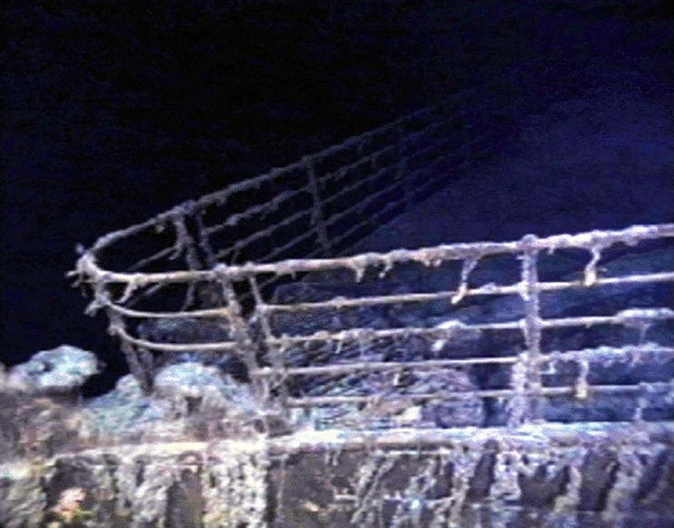
The shipwreck, which was discovered in more than 12,400 feet of water in the North Atlantic in 1985, is now considered an archaeological resource site as defined under the United States Archaeological Resources Protection Act.
In 2010, an expedition team led by National Oceanic and Atmospheric Administration (NOAA), completed the first high resolution detailed map and three-dimensional documentation of the entire Titanic wreck site.
“The wreck site of Titanic is a powerful, tangible link to the events of April 15, 1912, and very much a reminder of those who built, launched, sailed on, died on, or survived the sinking. A hundred years later, their stories still have relevance and speak to us from the depths through their personal effects and the power of archaeology,” James Delgado, director of NOAA’s Office of National Marine Sanctuaries Maritime Heritage Program, said in a statement.
NOAA wants to ensure that the memorial, historical, archaeological and scientific values of Titanic is preserved for future generations while sharing the story and images of the wreck with the public, it said.
While NOAA strives to protect as well as make Titanic wreck site accessible to the public through 2010 documentation and pictures, start the slideshow to view some of the never-before-seen pictures of Titanic before it sank, the shipwreck and more:


© Copyright IBTimes 2025. All rights reserved.


