Winter Storm To Affect At Least 20 States, Over 3,100 Flights Grounded, New York Gets Blizzard Warning

Over 3,100 flights have been canceled as at least 20 states, with more than 85 million Americans, are on a blizzard or storm watch ahead of a winter storm Friday. Before the storm hits the northeastern states, it is likely to bring in severe weather for the southern states, shutting down highways and airports.
Prominent cities like Washington, New York, Philadelphia and Baltimore, are in the path of the powerful storm, with heavy snow and strong winds expected through Sunday morning, the Weather Channel, which dubbed the storm Jonas, predicted. Nearly 2 feet is forecast to fall in some areas. Conditions across the East will rapidly worsen through Saturday with blizzard conditions, heavy ice accumulations, strong winds and coastal flooding.
The National Weather Service issued a blizzard warning, which will be in effect from 4 a.m. to 12 p.m. EST Saturday, for five New York City boroughs and coastal parts of northeast New Jersey and Long Island. The NWS also warned of snow accumulation of 6-10 inches and said the weather would be “extremely dangerous” to travel, due to heavy snowfall and strong winds with whiteout conditions. The storm was expected to last till Sunday night.
Areas from northern Virginia to southwestern Connecticut are expected to be under all-out blizzards, and farther west, from south-central Pennsylvania to parts of western North Carolina, will face whiteout conditions, AccuWeather.com forecast. Snow and ice triggered by the storm that developed in the middle Mississippi Valley Thursday was headed to parts of the South and the Ohio Valley Friday, the report added.The mid-Atlantic and southern New England were expected to be hit Friday afternoon into Saturday before the storm was expected to turn its wrath on southeastern New England Sunday, AccuWeather.com said.
"This will be a rare event for the region as there are not many storms that bring a foot or more of snow over such a large area. The greatest disruptions will be where the storm begins through Friday," AccuWeather chief meteorologist Elliot Abrams said.
According to the NWS forecast, weather in the far southern counties of middle Tennessee Friday morning will transition from rain to sleet and freezing rain. Snow was expected to expand across the middle of the state throughout the morning hours and into the day. The state will face travel issues which could last through Saturday as temperatures will remain below freezing through Sunday afternoon.
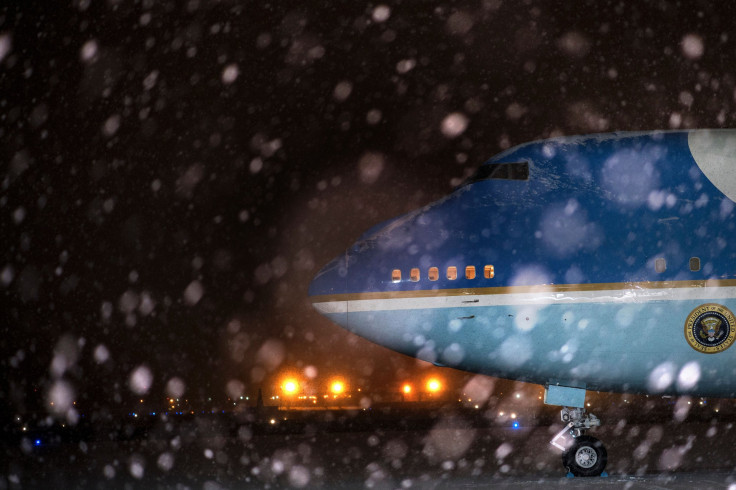
The storm was expected to shut down some highways and lead to the closure of some airports. Delta Air Lines announced travel cancellations for flights through Sunday at 19 airports in the Northeast and mid-Atlantic region ahead of the storm.
Operations at the Ronald Reagan Washington National Airport were normal early Friday. “Many airlines have pre-canceled flights for Friday and Saturday. Passengers should check with their airlines for the most up-to-date flight information,” the airport authorities wrote in a statement.
We expect most airline service to be suspended later this afternoon & evening due to the massive winter storm. #BWI
— BWI Marshall Airport (@BWI_Airport) January 22, 2016We will not operate any United Express flights at Newark on Saturday, but we plan to operate a limited number of mainline United flights.
— United (@united) January 21, 2016Dear valued guests, Due to weather, flight SV37 from Riyadh to Washington has been cancelled. We'll inform you about any updates
— SAUDIA | السعودية (@Saudi_Airlines) January 21, 2016Due to anticipated weather this weekend, some airlines are allow customers to modify weekend travel, confirm with your carrier directly.
— EWR JFK LGA SWF (@NY_NJairports) January 21, 2016© Copyright IBTimes 2026. All rights reserved.
- MOST READ