

Extreme Weather 2019: Tropical Storm Karen Forms, Flash Flood Threat For Puerto Rico And Virgin Islands
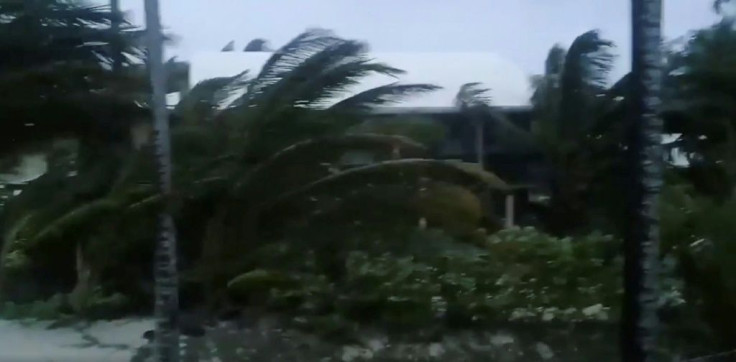
Tropical Storm Karen has officially formed out of a system just north of South America and east of the Windward Islands in the Northern Atlantic Ocean. The storm currently has maximum sustained winds of 40 miles per hour and is forecast to move northwest and then north through the rest of the week at 13 miles per hour.
“Tropical-storm-force winds and heavy rainfall will continue to affect the southern Windward Islands tonight,” the National Hurricane Center (NHC) said in an 11:00 a.m. update on Sunday.
Tropical Storm warnings have been issued for Trinidad & Tobago and Grenada, according to CNN, and will remain in effect throughout the day. A Tropical Storm Watch has also been issued for the Grenadines and St. Vincent.
By Tuesday, Karen should approach Puerto Rico and both the U.S. and British Virgin Islands, where Tropical Storm watches are currently in effect.
“Tropical-storm-force winds, heavy rainfall, and flash flooding is possible on these islands,” the NHC said in their update.
Karen is expected to remain a tropical storm as it moves north through Tuesday.
© Copyright IBTimes 2025. All rights reserved.
- MOST POPULAR IN World


