

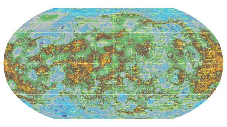
Mercury’s Secrets Revealed In The Planet’s First-Ever Global Topographic Map

Just over a year after NASA’s MESSENGER ended its four-year long extended mission by crashing on the surface of Mercury, scientists have been able to create a global topographic map of our solar system’s innermost planet. The map, released Friday, was created using thousands of images captured by the MESSENGER spacecraft during its over 4,100 orbits around Mercury.
“The wealth of these data, greatly enhanced by the extension of MESSENGER’s primary one-year mission to more than four years, has already enabled and will continue to enable exciting scientific discoveries about Mercury for decades to come,” Susan Ensor, a software engineer at The Johns Hopkins University Applied Physics Laboratory (APL), in Laurel, Maryland, said in a statement.
The maps reveal, in unprecedented detail, a plethora of structures on the planet’s surface, including its highest and lowest points. Mercury’s lowest point lies in the Rachmaninoff basin, located in the northern hemisphere, and is about 3.34 miles below the planet’s average elevation. The highest point on the planet, meanwhile, is located just south of the equator, and is 2.78 miles above its average elevation.
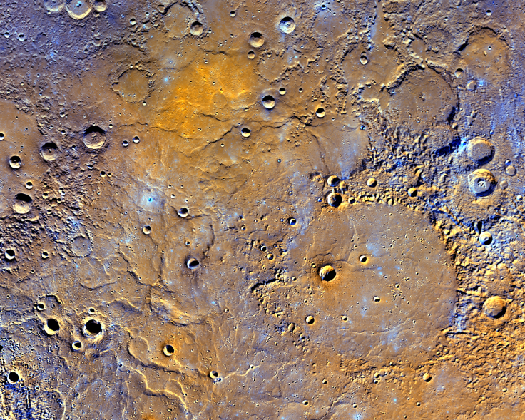
Additionally, the maps also show, in enhanced color, Mercury’s northern volcanic plains — a region near the planet’s North Pole where the sun always lies low on the horizon. Previous observations carried out by MESSENGER had revealed that this region is covered in a layer of lava, which runs more than a mile deep in some areas.
“This has become one of my favorite maps of Mercury,” APL’s Nancy Chabot said. “Now that it is available, I’m looking forward to it being used to investigate this epic volcanic event that shaped Mercury’s surface.”
MESSENGER was launched in 2004 and began orbiting Mercury in 2011. The spacecraft continued to operate for over three years after completing its primary mission in 2012, capturing, in the process, nearly 300,000 images during its 4,104 orbits.
“The creation of this map is a prime example of the utility and beauty that can come out of overcoming complex cartographic problems,” Lazlo Kestay, director of the U.S. Geological Survey’s Astrogeology Science Center, said in a statement. “This highly aesthetic product literally provides a whole new dimension to the study of Mercury images, opening many new paths to understanding the surface, interior, and past of the closest planet to the sun.”
© Copyright IBTimes 2025. All rights reserved.
- MOST POPULAR IN World


