

Winter Storm Virgil Hits Mid-Atlantic With Snow and Rain; DC Cherry Blossoms Still Safe
Forget the old saying: This March came roaring in like a lion, and it is showing no signs that it’s inclined to exit like a lamb. Though the vernal equinox has already come and gone, another winter storm is sweeping through the U.S. and is set to bombard an already snow-weary East Coast with slush until Tuesday.
What The Weather Channel is calling Winter Storm Virgil has already brought snow from the Rocky Mountains to the Midwest. Some of the highest snow totals came in Colorado, where the town of Beulah got 19.4 inches.
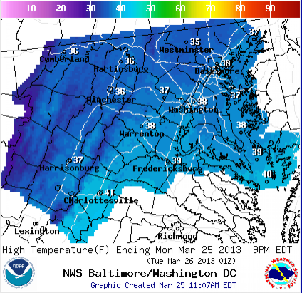
The Mid-Atlantic states should see a mixture of snow and rain throughout the day Monday, but with sunny days expected for the rest of the week in most areas, accumulation should be limited. Philadelphia and the Delaware Valley could see more “robust” snowfall, according to TWC.
TWC started naming winter storms just this season, and is already nearing the end of the alphabet -- all that’s left on the current list is Walda, Xerxes, Yogi and Zeus. Hopefully, there’s a backup list on hand somewhere, just in case. (TWC did not immediately respond to an inquiry about a backup plan; we will update this story as we get more information.)
This colder-than-usual March is a marked contrast to 2012.
On March 21 last year, “the anomalous ‘summer in March’ heat wave reached its peak intensity with all-time record high temperatures observed across most of the upper Great Lakes and New England,” Weather Underground meteorologist Christopher Burt wrote last week. “This year it’s an entirely different story.”
For example, Burt writes, on March 21 in 2013, Fort Wayne, Ind., saw a record low of 11 degrees Fahrenheit. On March 21, 2012, Fort Wayne was sweltering at 87 degrees Fahrenheit, the warmest March temperature on record.
Winter storms in March have already mucked up commutes in Washington, D.C., and the prolonged cold has prompted another kind of delay: The cherry blossoms won’t be opening as early as expected.
The National Park Service defines the peak bloom date as the day when 70 percent of the blossoms of the Yoshino Cherry trees have opened. The date varies according to the weather, and usually falls in early April, but the trees have blossomed as late as April 18, as they did in 1958, or as early as March 15, as they did in 1990. Some flowers may start opening before the peak bloom date; the official blooming period lasts from whenever 20 percent of the blossoms are open and ends whenever the petals fall.
In 2013, the NPS initially forecasted the peak bloom date would fall in late March, but colder-than-expected weather prompted a revisal last week.
However, NPS cherry blossom expert James Perry said this latest storm is unlikely to push that date further back. Nor does he expect Virgil will do much damage to the flowers.
“They’re not at the stage where the blossoms or buds are critically frost-sensitive,” Perry said in a phone interview. “Hopefully, it’s just some extra moisture for them.”
Currently, the forecast for a peak bloom date stands somewhere between April 3 and April 6.
“We’re sticking with that,” Perry said.
© Copyright IBTimes 2025. All rights reserved.
- MOST POPULAR IN Science


