

China-Philippines Territorial Dispute: Ancient Maps 'Debunk' Chinese Claim Over Scarborough Shoal

The Philippines has upped the ante in its territorial dispute with China by fighting fire with fire, or in this case, a map with a map. The Philippines has recently unveiled an exhibit in Manila of 60 ancient maps of Asia that authorities say debunk China’s claimed "historical ownership" over disputed areas of the South China Sea, specifically the Scarborough Shoal, located west of the Philippines.
According to Filipino newspaper The Inquirer, Supreme Court Senior Associate Justice Antonio Carpio said in a public lecture that he hopes the maps, the oldest dating from 1136 during China’s Southern Song Dynasty, would finally settle the dispute in the South China Sea in the Philippines' favor. The cartographic display is also viewable online at the Institute of Maritime and Ocean Affairs website.
“We should respect historical facts, not historical lies,” Carpio said. The collection of maps shows the island of Hainan, China’s southernmost region, as not including any maritime territories, particularly the hotly disputed Scarborough Shoal and Spratly Islands.
China’s claim over the territory, which it calls Huangyan Island, re-emerged in April 2012, after the Philippines discovered Chinese fishermen engaging in what Manila said was poaching at the shoal. The discovery eventually led to a tense confrontation between Chinese and Filipino maritime forces and continues to be a geopolitical point of contention for the two countries. The Philippines is an ally of the U.S.
China’s maritime claims extend beyond just the Scarborough Shoal, and even beyond the South China Sea. China is also embroiled in disputes with Japan in the East China Sea over a cluster of islands called the Diaoyu in Chinese or Senkaku in Japanese. In the South China Sea, Brunei, Malaysia, Vietnam and Taiwan all lay claim to different areas that China has also claimed as its own.
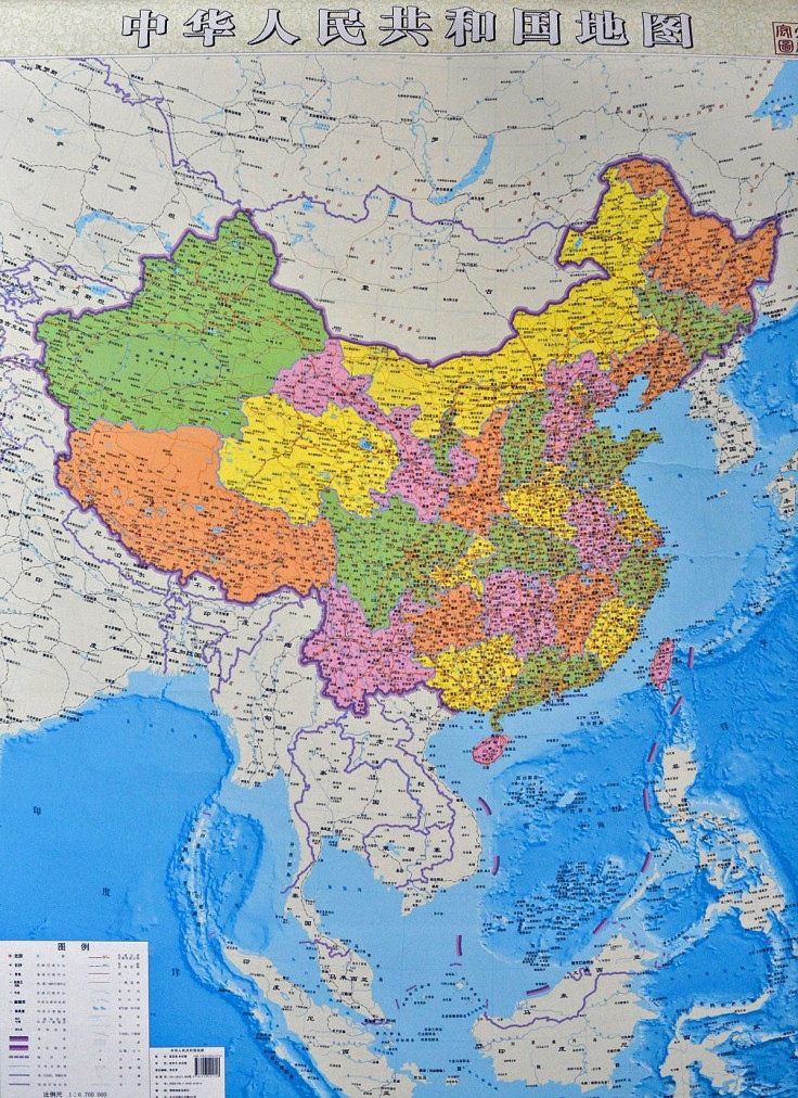
China has been known to use maps in the past as a form of cultural warfare. Earlier this summer, the Chinese government released a new official “vertical” map which not only included the mainland, but also much of the South China Sea.
© Copyright IBTimes 2024. All rights reserved.
-

Microsoft Is Turning Into The 'Maestro' Of AI Transformation
-

US-Japan-Philippines Alliance: A Trio With Bitter Past Now Threatens China's Maritime Ambitions
-

Abu Dhabi-backed Group Ends Telegraph Takeover Bid
-

Canada's First New Oil Pipeline In Decades Starts Operating
-

New Post-Brexit Controls: A Thorn For UK Horticulture
-

Climate Change, Brexit Threaten To Wilt Dutch Tulips
-

Gaza Puppet Maker Turns Tins Into Toys In Ruins Of War
-

G7 Holds 'Strategic' Talks In Climate Hotspot Italy
-

Will He Resign Or Not? Spain Awaits PM's Decision
-

Olympic Deal Shows Bubbling Market For Zero-alcohol Beers


