Hurricane Irene New York, North Carolina: How to Prepare for Landfall on Saturday (PHOTOS)
Hurricane Irene, the first tropical cyclone of the Atlantic Hurricane Season 2011, is predicted to reach Category 4 with maximum sustained winds of 131-155 miles per hour as it strikes eastern North Carolina on Saturday, while a Category 1 storm with a wind speed of 90 miles per hour is expected to hit New York on Sunday.
As a major Category 3 hurricane, Irene battered the low-lying Bahamas southeast of Florida on Thursday and was expected to sweep northward to hit the North Carolina coast on August 27, before raking the remaining Atlantic seaboard.
While officials at the American Red Cross in Greater New York Emergency Operations Center are in discussion over their preparations for the landfall of Hurricane Irene in New York, hurricane and tropical storm watches are in effect for much of the Carolina coastline.
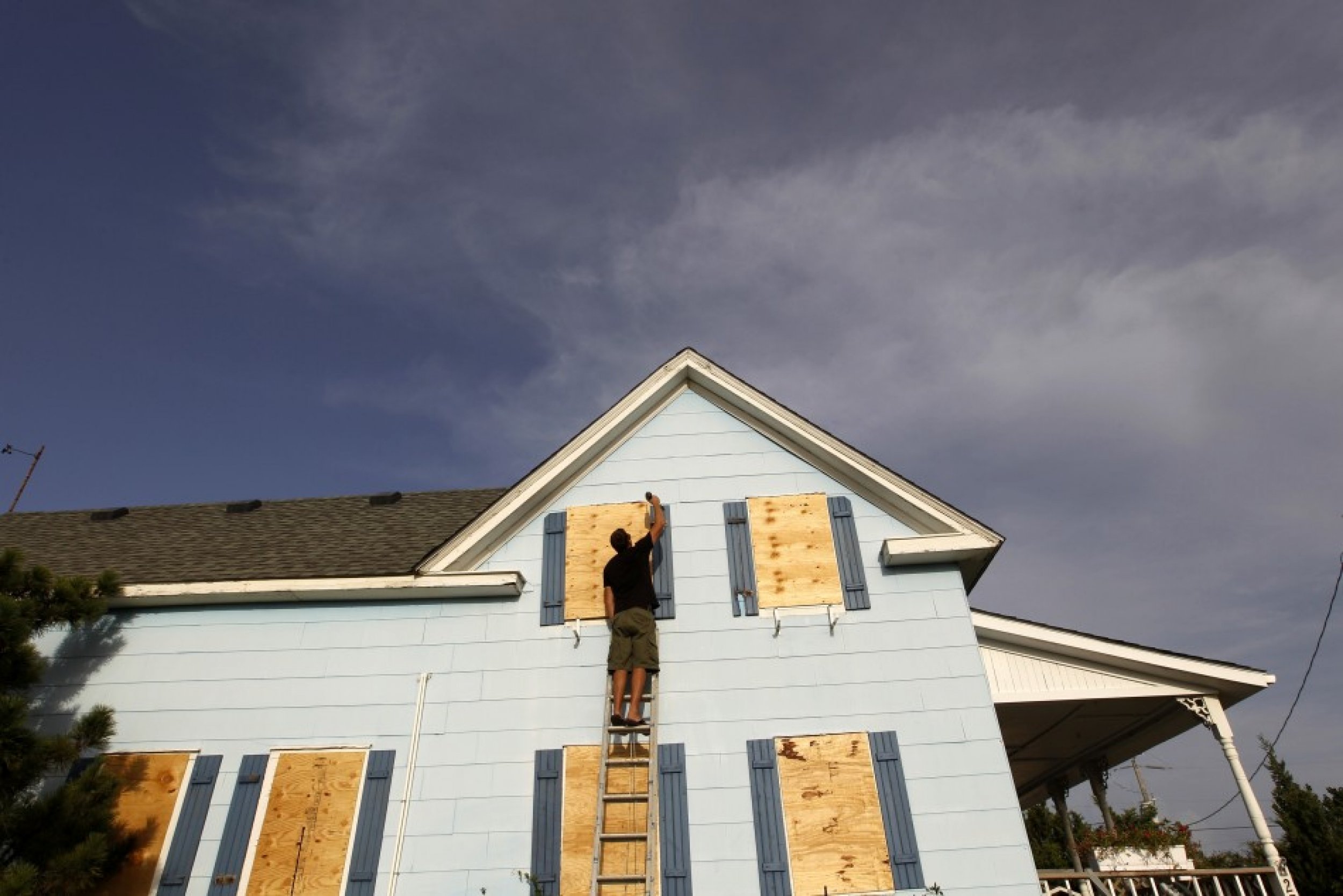
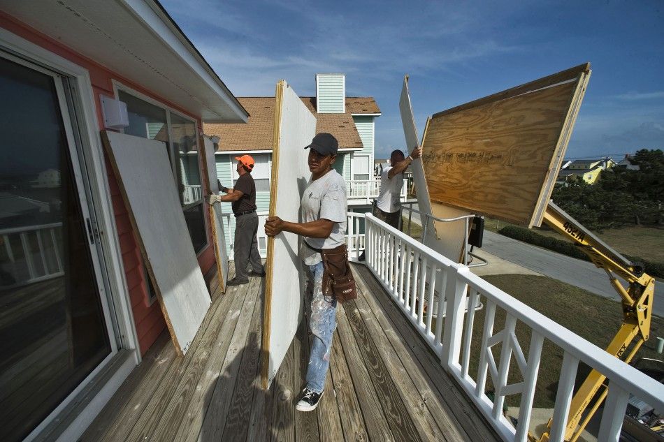
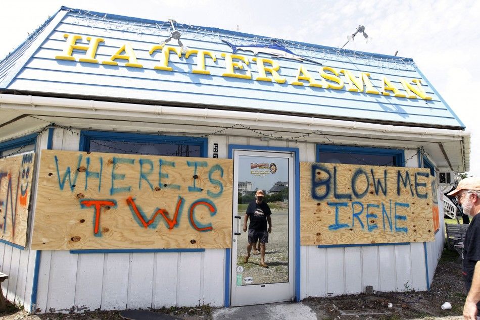
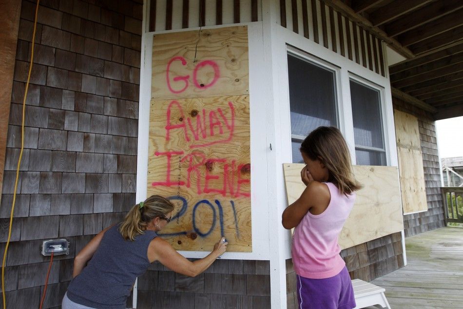
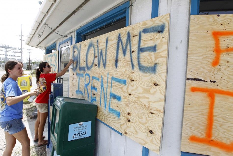
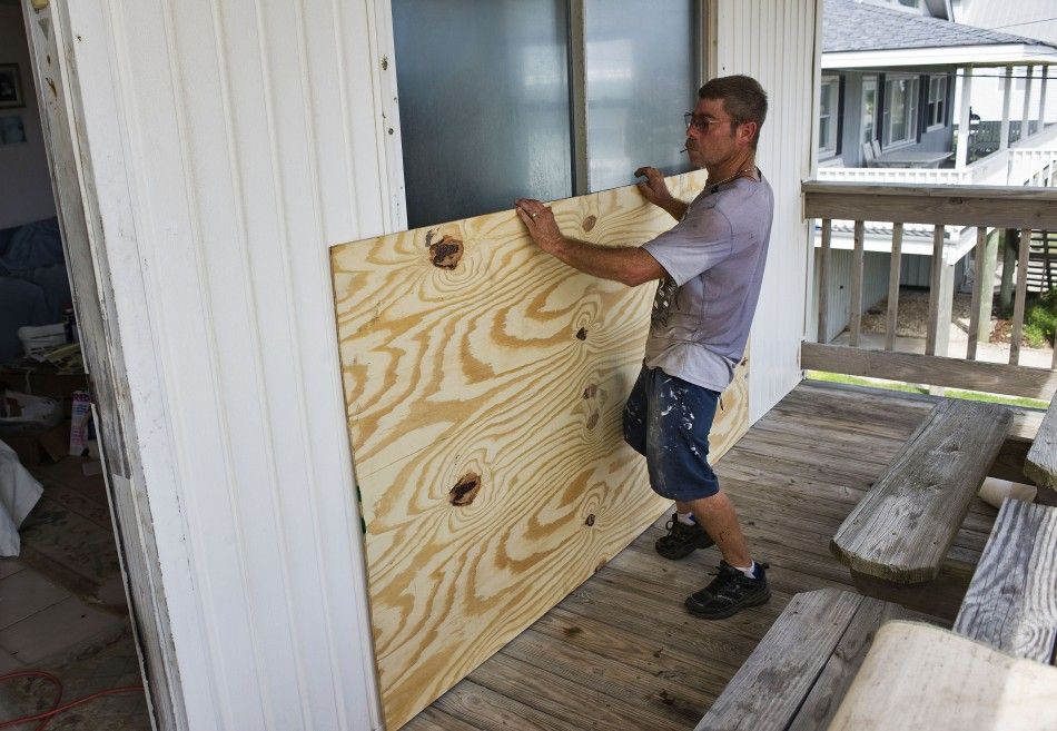
Officials urged on Thursday the entire eastern seaboard to prepare for bracing Irene. Residents near the Atlantic Beach and other seaside areas in North Carolina were seen protecting their houses in preparation, Reuters reports.
The U.S. National Hurricane Center (NHC) suggests Hurricane preparedness for preventing damage to life and property from Irene.
NHC recommends to secure homes and buildings ahead of a hurricane warning. People preparing for Irene in North Carolina’s coastal area were seen fixing up plywood shutters on the windows of their beachside homes and restaurants.
NHC also suggests storing drinking water, food to last for at least 3 to 7 days, besides other necessary items including First-Aid kits, flashlights, clothing, rain gears, and blankets and so on.
Visit the National Hurricane Center's website for detailed instructions on how to prepare for Hurricane Irene. A few pictures below show people in North Carolina doing their bit.

© Copyright IBTimes 2025. All rights reserved.


