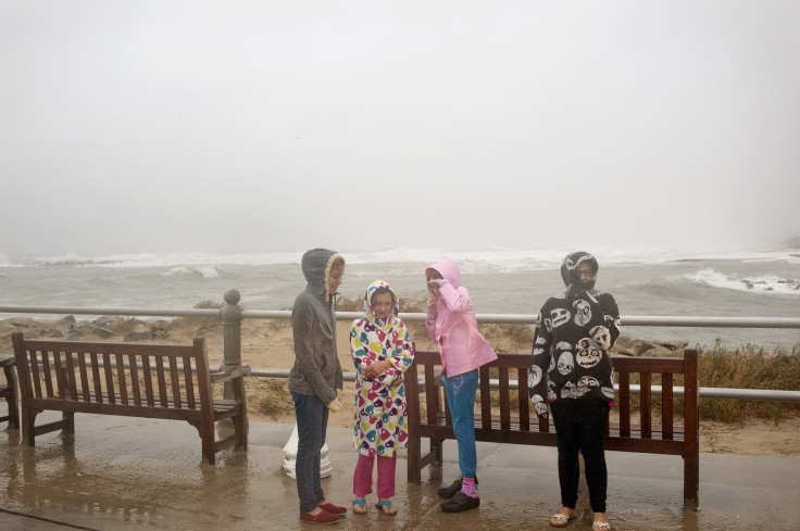
Hurricane Sandy Forecasters Warn Of Storm's Size; 'Frankenstorm' Expected To Grow

The main concern forecasters have about Hurricane Sandy as it approaches the U.S. East Coast Sunday is not its strength so much as the storm’s sheer size. The hurricane, which could start smattering New York and New Jersey with rain and wind as early as Sunday night, is expected to be large enough to clobber the coast from Boston to Washington, the most populated part of the country, all at once.
Hurricane Sandy was still mustering strength about 260 miles southeast of Cape Hatteras, N.C., Sunday morning. The National Hurricane Center in Miami reported at 8 a.m. EDT that the wind, which was blowing at a speed of 75 mph Sunday morning, is not expected to gain strength. The real cause for concern is that Sandy’s winds were howling far out from the center of the storm, a 1,040-miles diameter that was expected to increase as the gusts continued north.
The eye of the storm is expected to make landfall on Monday night or early Tuesday morning.
“Given the large wind field associated with Sandy, elevated water levels could span multiple tide cycles, resulting in repeated and extended periods of coastal and bayside flooding,” weather forecasters told Reuters.
The hurricane was moving north through the Atlantic at 10 mph on Sunday and is expected to make a sharp turn toward the coast Sunday night. Meteorologists have warned that everywhere from the mid-Atlantic states to Canada could see effects. Eight states have declared a state of emergency, ranging in location from Massachusetts to North Carolina.
In comparison, Hurricane Irene’s winds last year extended 255 miles from the eye of the storm, which was 510 miles in diameter, according to Science Daily. Officials are warning that Sandy is of much greater concern and could cost far more in damages than Irene.
Forecasters are warning that New York Harbor and the Long Island Sound could see seawater surge up to 11 feet above normal levels.
“Sandy should bring sustained winds of 50 - 70 mph with gusts over hurricane force to a large section of coast. With most of the trees still in leaf, there will be widespread power outages due to downed trees, and the potential for a billion dollars in wind damage,” wrote Dr. Jeff Masters on The Weather Underground meteorology site.
Sandy's vast size is also expected to increase its duration along with its power, according to Newsday.
“A hurricane can be in and out in 12 hours,” said Brian Colle, a professor at Stony Brook University’s School of Marine and Atmospheric Sciences. “This one, we’re talking perhaps longer than 24 hours where we have potential for damaging winds.”
© Copyright IBTimes 2024. All rights reserved.


