

Main U.S. Weather Satellite Fails, GOES-13 Failure Equals Trouble For East Coast Hurricane Season

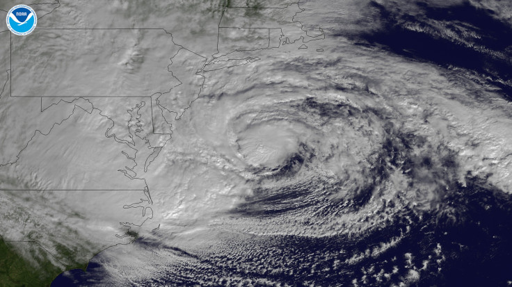
Just as the 2013 hurricane season is about to begin, one of the U.S.' main weather satellites failed this week. The Geostationary Operational Environmental Satellite, also known as GOES-13, reportedly ceased to operate as of Tuesday, making it impossible to predict weather patterns on the East Coast.
According to Accuweather meteorologist Alex Sosnowski, the National Oceanic and Atmospheric Administration (NOAA) is unable to receive images from the satellite. USA Today reported Wednesday that the failure of GOES-13 is making it difficult to predict weather trends in locations the satellite monitored: the East Coast and the tropical Atlantic Ocean.
With less than one month to go before the start of the official 2013 hurricane season on June 1 -- less than one year since the East Coast was ravaged by Superstorm Sandy, destroying countless homes and businesses -- meteorologists are reportedly concerned about the satellite’s inability to correctly forecast potentially deadly storms.
“[This is] not good on the verge of hurricane season,” said J. Marshall Shepherd, a research meteorologist at the University of Georgia.
According to AccuWeather.com, the NOAA utilized GOES-15, which is mainly used to measure West Coat weather patterns, as a temporary satellite following Tuesday’s disturbance. In response to the satellite failure, the NOAA is reportedly activating GOES-14 as early as Thursday. USA Today confirmed that if the backup satellite fails, options will be limited for forecasting upcoming floods, thunderstorms and hurricanes.
“[These] are key instruments for meteorologists to provide watches and warnings for these dangerous weather phenomena,” Sosnowski said.
AccuWeather.com reported that GOES-13 was first put into orbit after many failed launch attempts in 2006 and was expected to remain in operation until 2015.
© Copyright IBTimes 2025. All rights reserved.
- MOST POPULAR IN Technology


