Maritime Shippers Send Increasing Numbers of Cargo Vessels Through The Arctic As Global Warming Causes Sea Ice To Recede (PHOTO)

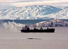
Governments with borders along the Arctic Circle and major global maritime shippers are scrambling to take advantage of the relatively recent opportunity to move cargo across the top of the world.
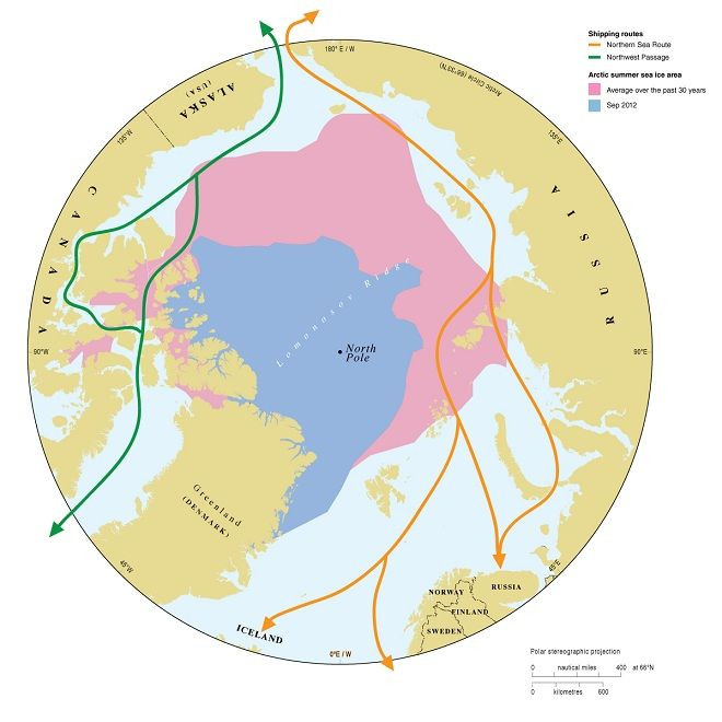
Check out this map. It used to be that the Arctic Ocean ice extended as far as the area covered in both blue and pink. In other words, the extent of the ice was so great that it was not possible for freighters to sail along the northern coast of Russia or the northern coasts of Alaska and Canada.
But with global warming, that has all changed. Now, the Arctic Ocean ice only extends as far as the area marked in blue, opening up two routes for shippers moving large cargo vessels around the world.
One route, marked in green on the map and known as the Northwest Passage, connects Alaska with Greenland and the North Atlantic Ocean. Another route, marked in orange on the map and known as the Northern Sea Route, connects the North Sea, Scandinavia and Siberia.
Shippers that once had to route their freighters around the Cape of Good Hope, Cape Horn or the Panama Canal can now chart a course across the top of the planet and save as many as 30 days, a cost savings worth millions. In fact, it is now possible to sail around the world and remain above the Arctic Circle for nearly the entire voyage, the only exception being the need to sail around the southern tip of Greenland.
© Copyright IBTimes 2026. All rights reserved.
- MOST POPULAR IN Business