

NYC Plans Wayfinding System - New Pedestrian-Friendly Signs Will Navigate You
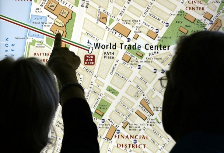
If you call yourself a New Yorker and still often get lost in the city, it's time to cheer up. Finally, the city will help you find your way around, putting a period to the repeated embarrassment of telling the lost tourists, I also don't know how to get there.
New York City Department of Transportation (DOT) announced Tuesday a request for proposals on new street signs to help pedestrians navigate the city.
A coordinated pedestrian information network, wayfinding, is expected to feature a neighborhood map, notations of landmarks and subway stations, marking a critical first step in making New York City's world-class streets easier to navigate and even more accessible for New Yorkers and visitors alike, according to DOT.
Why is the city launching the $1.5 million program, wayfinding?
With 31% of all trips in the city are made by foot and 22% of all car trips under one mile, New York is an ideal location for launching a comprehensive pedestrian sign system to encourage walking, DOT stated.
It was also found in a DOT survey that many New Yorkers did not know how to give directions to certain locations.
Among over 500 pedestrians surveyed, 9% of New Yorkers admitted getting lost in the past week. One third could not point north.
Moreover, 14% of visitors failed to name the neighborhood while 27% could not name the borough. A quarter of visitors did not know how to get to the next destination on their journey.
If New York City aims at becoming pedestrian-friendly, both locals and tourists, wayfinding will be quite a crucial
Perhaps New Yorkers cannot be blamed for their confusion, given the city's geographic quirks, said the New York Times. Officials noted that Queens can particularly confound a pedestrian. For example, in Astoria, 30th Avenue, 30th Road and 30th Drive all run parallel.
Most New Yorkers know everything about where they live and where they work, but take them out of their immediate area, and they might as well be in Abu Dhabi, said Mitchell L. Moss, the director of the Rudin Center for Transportation at New York University, the Times reported.
The signs will first appear in Long Island City in Queens, Prospect Heights/Crown Heights in Brooklyn, Chinatown and around Penn Station in Manhattan. DOT will work closely with the districts to design a standardized system based on extensive community input. After reviews and refinement, the system will be expanded to other neighborhoods which choose to install wayfinding signs.
As our streets become safer, more inviting places, it's even more important that a common language unite these spaces and open them up in new and exciting ways, said Commissioner Sadik-Khan. An information system that points the way to key destinations knits together neighborhoods and makes local businesses even more accessible to all New Yorkers.
© Copyright IBTimes 2024. All rights reserved.
-

Self-care: Orangutan Seen Apparently Treating Wound
-

European Court Upholds Italy's Claim To Greek Bronze In US Museum
-

Colombian School, A Grim Reminder Of Atrocities Of Rubber Fever
-

More War Debris In Gaza Than Ukraine: UN
-

UK Confirms First Migrants Held For Rwanda Deportation Flights
-

Tesla To Cut Hundreds More Jobs In Musk Cost Push: Report
-

Microsoft Is Turning Into The 'Maestro' Of AI Transformation
-

US-Japan-Philippines Alliance: A Trio With Bitter Past Now Threatens China's Maritime Ambitions
-

Abu Dhabi-backed Group Ends Telegraph Takeover Bid
-

New Post-Brexit Controls: A Thorn For UK Horticulture


