

Tropical Storm Humberto: Will It Threaten Land Areas?
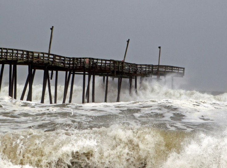
One of the systems previously reported to have been forming near the Caribbean has developed into a tropical system, now dubbed Humberto. The core of the storm is was passing 30 miles east of the Abaco Islands in the northern Bahamas at approximately 8 a.m. Saturday. Areas of the island country recently struck hard by Hurricane Dorian are expected to be hit by heavy rain and winds from Humberto.
The storm’s maximum sustained winds were around 40 mph on Saturday. Tropical strength winds extended a maximum of 90 miles from the storm’s center.
As the tropical storm moves through the northwestern Bahamas with powerful winds throughout the Saturday, it is expected to drop 2-4 inches of rain in most areas and up to six on some isolated regions. According to CNN, winds in areas affected by Dorian might experience winds around 60-7 mph. These conditions should dissipate later in the day.
According to the National Hurricane Center, a tropical storm warning is in effect for most of the northwestern Bahamas. Humberto’s core is unlikely to reach the southeast coast of the U.S. on its current path. By the end of Monday, its outer bands should drop between 1-2 inches of rain in Florida and Georgia.
© Copyright IBTimes 2025. All rights reserved.
- MOST POPULAR IN World


