

Beidou: Meet China's GPS Solution

China launched the Beidou Navigation Satellite System on Tuesday, which will reportedly help the country wean its dependence off the U.S. for its popular Global Positioning System (GPS). Beidou, which is run by the China Aerospace Science and Technology Corp., will provide positioning, navigation and timing services to the country and its surrounding areas, according to a spokesperson for the new system.
The Beidou satellite navigation system is a building of our own, operates independently, and is compatible with other shared global satellite navigation systems, said Ran Cheng, spokesperson for the China Aerospace Science and Technology Corp. At present, the Beidou satellite navigation system has launched 10 satellites, and built a basic system [for] active positioning and short-message communication services.
In addition to the 10 satellites launched for Beidou so far, China plans to launch six more into orbit in 2012 to bolster accuracy and expand its service to cover most of the Asia-Pacific area.
Beidou, which means Big Dipper in Mandarin-Chinese, began construction in 2000 with the goal of providing a fully-realized satellite sytem by 2020. The original system was going to be called Compass, and it was said to leverage about 35 satellites. The project was mostly overseen by the Chinese military, which controls the Chinese space program, but it will largely be directed at civilians and commercial applications.
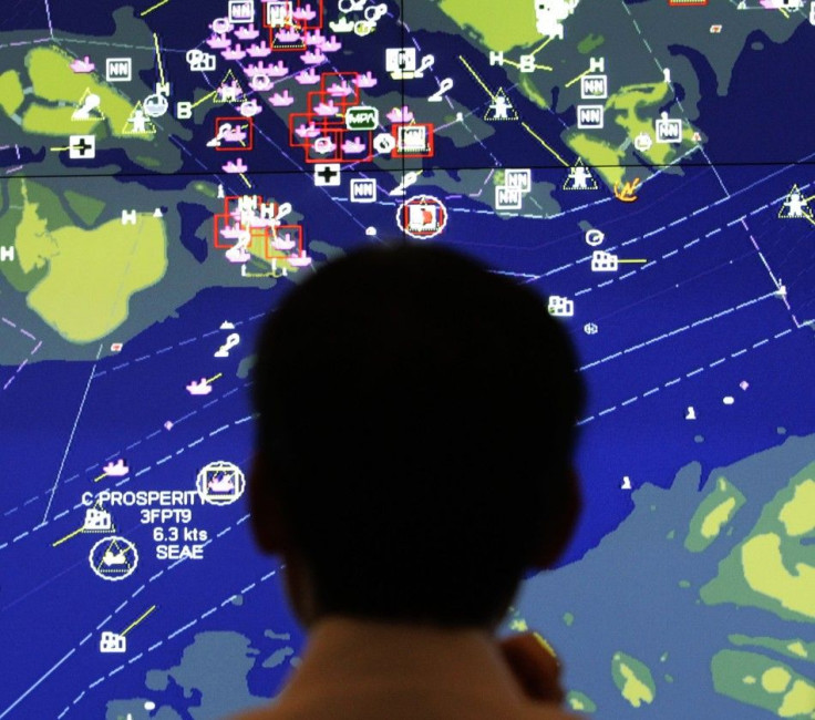
Although China still has a long way to go before it has continuous real-time tactical coverage, even of a regional maritime environment, it now has frequent and dependable coverage of stationary targets and at least a basic ability to identify, track and target vessels at sea, said a research paper written by Matthew Durnin and Eric Hagt, which was published in the Journal of Strategic Studies in October.
Since the Pentagon controls the GPS platform, the U.S. government could verily disable access to China in case of a conflict. On the flip side, China has designed ways to disrupt U.S. naval passage around its shores for the same reason, but Beidou is an opportunity for China to become independent.
China's Navigation Satellite System will allow civilians to access Beidou-powered applications for car drivers, trucks and ships. As an added bonus, the system can also support SMS messages.
Based purely on capabilities, with a space-based reconnaissance system as the backbone, China is clearly acquiring greater ability not only to defend against intruding aircraft carriers but to project force as well, the paper said.
China launched a prototype of the system called Beidou-1 in 2000, allowing access to the system in 2004. The service failed back then because the terminals used to access China's navigation system were too bulky and expensive than the GPS devices from the U.S.
Since then, China has made Beidou much more accurate and efficient. The project's spokesperson said Beidou is used by more than 100,000 Chinese clients, and has been used to aid disaster relief efforts after the Sichuan earthquake in 2008, and has helped the Chinese government track its vehicles in the country's southern Guangdong province.
China will likely also use the Beidou system to help coordinate its military systems, even though the project spokesperson did not comment on the satellite system's military applications. China may use Beidou to coordinate troop movements and track and guide its missile systems, as well as pinpoint the navy fleets from foreign countries. Yet, Beidou could give China a significant strategic advantage over its Asian neighbors if it can achieve more accurate readings.
China is only one of a few countries to build an alternative GPS. Russia's GLONASS (Global Navigation Satellite System) is the only platform besides GPS that's currently operational, while the EU's Galileo is reportedly coming in 2020. GPS was made ready for U.S. civilian use in 1995, and uses 30 satellites to provide readings accurate to within less than 33 feet. The U.S. military reportedly has access to more precise readings.
© Copyright IBTimes 2025. All rights reserved.
- MOST POPULAR IN World


