

GOES-R: NOAA High-Tech Satellite That Will Track Weather, Aid In Search & Rescue
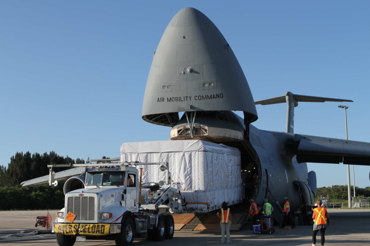
In just about four days and 12 hours, National Oceanic and Atmospheric Administration (NOAA) and NASA will launch GOES-R, the latest high-tech weather satellite that will also aid with international search and rescue operations.
Short for Geostationary Operational Environment Satellite - R Series, the GOES-R satellite itself was built by Lockheed Martin in its Littleton, Colorado, facility. The primary payload of the satellite is the Advanced Baseline Imager (ABI), built by Harris Corporation. An instrument suite, the Extreme Ultraviolet and X-ray Irradiance Sensors (EXIS), built by researchers from the University of Colorado at Boulder will also be onboard.
GOES-R will observe Earth from its geostationary orbit 22,240 miles over the equator. Compared to earlier technology, ABI will capture data at four times the spatial resolution and three times the spectral information, all of it at five times the speed. Among other things, ABI will track and monitor cloud formation, atmospheric motion, land and sea surface temperatures, ocean dynamics, fire, smoke, volcanic ash plume, aerosols and air quality.
The satellite scan the entire planet in only 5 minutes, and improve the warning time for severe weather events like tornadoes, hail storms and hurricanes, thereby helping save lives, property and infrastructure.
The ground system, also developed by Harris, “will receive data from the GOES-R spacecraft and generate real-time GOES-R data products,” according to the satellite’s official website. It will operate from two primary locations, one in Maryland and the other in Virginia. A third facility in West Virginia will act as backup.
The EXIS instrument suite is set to fly on four NOAA satellite over the coming decade, the first one going up with GOES-R. It will “measure energy output from the sun that can affect satellite operations, telecommunications, GPS navigation and power grids on Earth,” according to a press release.
The satellite will also house a transponder that will allow it “to immediately detect distress signals from emergency beacons and relay them to ground stations.” It is a part of NOAA’s responsibilities as the operator of Search and Rescue Satellite Aided Tracking (SARSAT) System, one of the components of COSPAS-SARSAT that helps detecting and locating “mariners, aviators, and other recreational users in distress almost anywhere in the world at anytime and in almost any condition.”
#GOESR is not just a weather satellite, it’s a helping hand for stranded stranded hikers, sailors, & pilots. More at https://t.co/9lgx13nBR8 pic.twitter.com/zPL6yIWt0R
— NOAA Satellites (@NOAASatellites) November 14, 2016
GOES-R will launch at 5:42 p.m. EST on Nov. 19 from launch pad 41 at Cape Canaveral, Florida. It will be carried on AV-069, a United Launch Alliance Atlas 5 rocket.
© Copyright IBTimes 2024. All rights reserved.
- MOST POPULAR IN World


