

Google Earth Timelapse Update Adds NASA Images To Trace Earth's History From 1984 To 2016
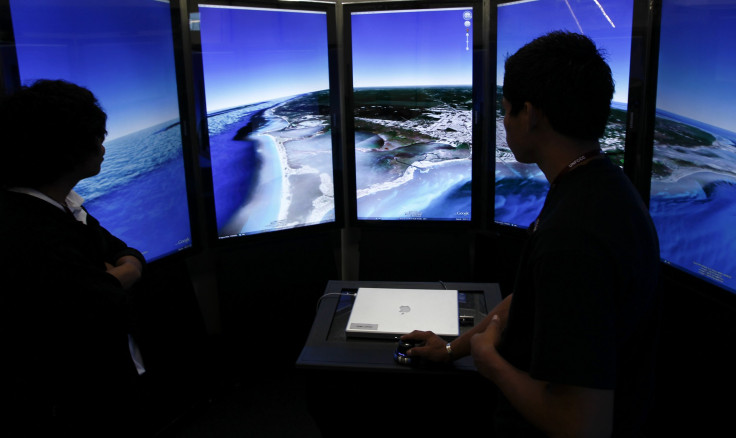
Google has updated its Earth Timelapse feature and it will now show how the planet has changed from 1984 to the present day. The newest update adds four additional years of imagery, petabytes of data and a sharper view of the earth.
The project stems from a collaboration between Google and Time Inc, and consists of collated images from different satellites showing a GIF-like representation of how parts of the planet have changed over the course of the last 32 years. Timelapse is a global, zoomable video and consists of 33 cloud-free mosaics, one for each year, developed by Carnegie Mellon University’s CREATE Lab.
“It’s an undeniable achievement that we can keep such a close, sharp eye on our world. It will be even more to our credit, however, if that ability leads us to care more for the world too,” Jeffrey Kluger, a senior journalist at Time magazine, said in the official announcement.
The project explores changes in topography and landscape such as the development of Dubai’s man-made Palm islands, the retreat of Alaska’s Columbia glacier and the expansion of Las Vegas. The company states that its Google Earth Engine sifted through three quadrillion pixels from over 5 million images from the Landsat Global Archive Consolidation Program.
You can view the new Timelapse by clicking here or by using Google Earth’s historical imagery feature.
© Copyright IBTimes 2024. All rights reserved.
-

Microsoft Expands Its AI Empire Abroad
-

Oil: 'Mother Of Corruption' In Venezuela
-

'Extreme' Climate Blamed For World's Worst Wine Harvest In 62 Years
-

Macron Warns 'Mortal' Europe Needs Credible Defence
-

Bitcoin And Crypto Price Review - Another Myth Gets Busted?
-

Mass Cancellations Loom Despite French Air Union Cancelling Strike
-

Mired In Crisis, Boeing Reports Another Loss
-

Recycled 'Zombie' Misinformation Targets US Voters
-

Hackers Leak Part Of Source Code Of El Salvador's Bitcoin Wallet
-

Azerbaijan Says 'Closer Than Ever' To Armenia Peace Deal Amid Border Talks


