

Hurricane Irene: Delaware Braces for Unprecedented Storm
Residents are fleeing the coastal towns of lower Delaware ahead of monster hurricane Irene after governor Jack Markell declared a state of emergency and ordered the evacuation of low-lying areas.
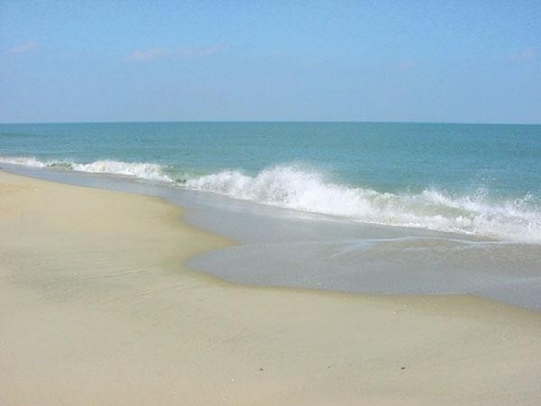
The entire Delmarva peninsula has been warned that a storm of Irene’s power has not been experienced in the region in decades.
We're looking at wind damage throughout the state Markell said in a statement. We're looking at roads becoming impassable, rivers and streams flooding and power outages.
Markell has also ordered 1500 National Guard troops to duty and placed all state police on call.
The National Hurricane Center (NHC) projected on Thursday that Irene may cross the southeastern tip of Delaware near the town of Lewes as a Category-2 tempest – which would be unprecedented in the state’s recorded history.
Category-2 storms can feature winds of speeds up to 110 miles per hour, presenting particular danger to the livestock industry of southern Delaware.
Regardless of the fine details of where the center [of the storm] goes, it's going to bring into play all of the Northeast Corridor for heavy rain, high winds and coastal flooding, Bill Read, the NHC director said in a press briefing.
[However, Irene] will weaken as it moves north, we're fairly certain of that. I still think there's a possibility for it to be at the low end of Category-2 across Delmarva and the southern end of New Jersey. The wind field will still be large.
NHC further warned that hurricane-force winds could reach as far inland as Baltimore and Washington DC.
Any further deviation [of the storm] to the left could bring direct center impacts as far inland as the Washington-Baltimore area, Read said.
After that, the rest of the Eastern Seaboard is well within the path of this storm.
Northern Delaware (where most of the state’s population is concentrated) will probably not face hurricane-force winds, but still may face gusts of up to 40 miles per hour as well as heavy rains.
Moreover, coastal regions of the Delaware Bay may witness storm surges of three to five foot above normal, which could precipitate dangerous flash floods.
© Copyright IBTimes 2025. All rights reserved.
- MOST POPULAR IN World


