Tropical Storm Katia: Everything To Know About Potential Hurricane Joining Irma, Jose

Tropical Storm Katia has started to form in the Gulf of Mexico and could potentially grow into a hurricane before it makes landfall. If it does manage to pick up strength over time, it may join the likes of Category 5 Hurricane Irma and Tropical Storm Jose.
Katia, formerly “Tropical Depression 13,” which has the wind speed of 35 mph, started to develop about 95 miles east of Tampico, Mexico, at 10 p.m. CDT (11 p.m. EDT) Tuesday. Its current wind strength is 40 mph and it is moving toward eastern Mexico at 2 mph, the Weather Channel reported.
Katia is said to make its landfall in eastern Mexico over the weekend as it will stay trapped between the southern Rockies and southern Plains. Its potential to turn into a hurricane will depend on the exact track Katia takes in the next couple of days. Katia is also expected to stay far away from the Hurricane Harvey-torn areas of Texas and Louisiana due to a large area of dry, sinking air that still looms over the area.
Hurricane Irma, Tropical Storm Jose, Tropical Storm Katia all tropical systems in the Atlantic, Caribbean and Gulf pic.twitter.com/CA4zAV4AWm
— David Siple (@DavidSiple) September 6, 2017
“The system will likely end up moving inland over the northern coast of southeastern Mexico sometime late this week or this weekend,” AccuWeather Hurricane Expert Dan Kottlowski said, Accuweather reported.
There also remains a chance that the storm might change its path in the next 24 hours and end up missing the eastern Mexican shore altogether and instead follow a generalized direction, local news outlet Kris TV reported. However, it continues to grow stronger as it feeds off the very warm water over the Bay of Campeche.
Great. Tropical Depression #13 has formed in S. Gulf of Mexico. Will become Tropical Storm Katia soon. Good news--not coming to Texas... pic.twitter.com/JJTPicLKUC
— KXAN Weather (@KXAN_Weather) September 5, 2017
The main threats that face eastern Mexico at present are heavy rain accompanied by gusty winds, flash floods and mudslides.
The National Hurricane Center (NHC) has not yet issued any warnings for Katia. However, it has reiterated that depending on the progress of the storm, a storm watch may happen for parts of the state of Veracruz, Mexico, Wednesday, according to Kris TV. Apart from Veracruz, Southern portions of the state of Tamaulipas may also feel the effects of the storm. According to AL.com, the northern Gulf Coast of Mexico is not going to feel many effects of Katia.
Tropical Storm Jose, which was named by the NHC on Tuesday, has already grown stronger than Katia, with wind speeds of 60 mph and located 1,250 miles east of the Lesser Antilles. It is expected to become a full-fledged hurricane by the end of Wednesday and to continue to move west.
We now have 3 named storms in the Atlantic. Hurricane Irma, Tropical Storms Jose and Tropical Storm Katia. pic.twitter.com/9Bc9SMnLf7
— LeoHirsbrunner (@LeoHirsbrunner) September 6, 2017
Jose will slow down over the weekend and make a north-west turn, after which its track remains uncertain. According to the Weather Channel, residents of Lesser Antilles and areas which have already been hit by Hurricane Irma are advised to keep an eye on the updates on Jose.
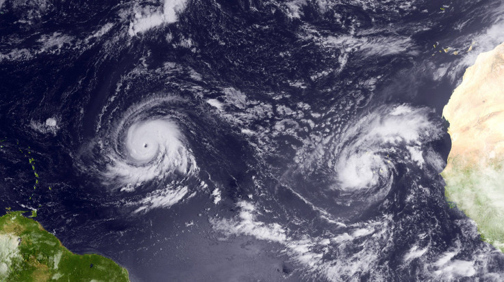
However, the primary focus of weather forecasters is tracking Hurricane Irma that developed into a Category 5 storm on Tuesday with sustained winds of 185 mph. It is on course to make landfall in several Caribbean islands, including Puerto Rico, Tuesday night or early Wednesday, Vox reported.
© Copyright IBTimes 2026. All rights reserved.
- MOST POPULAR IN World