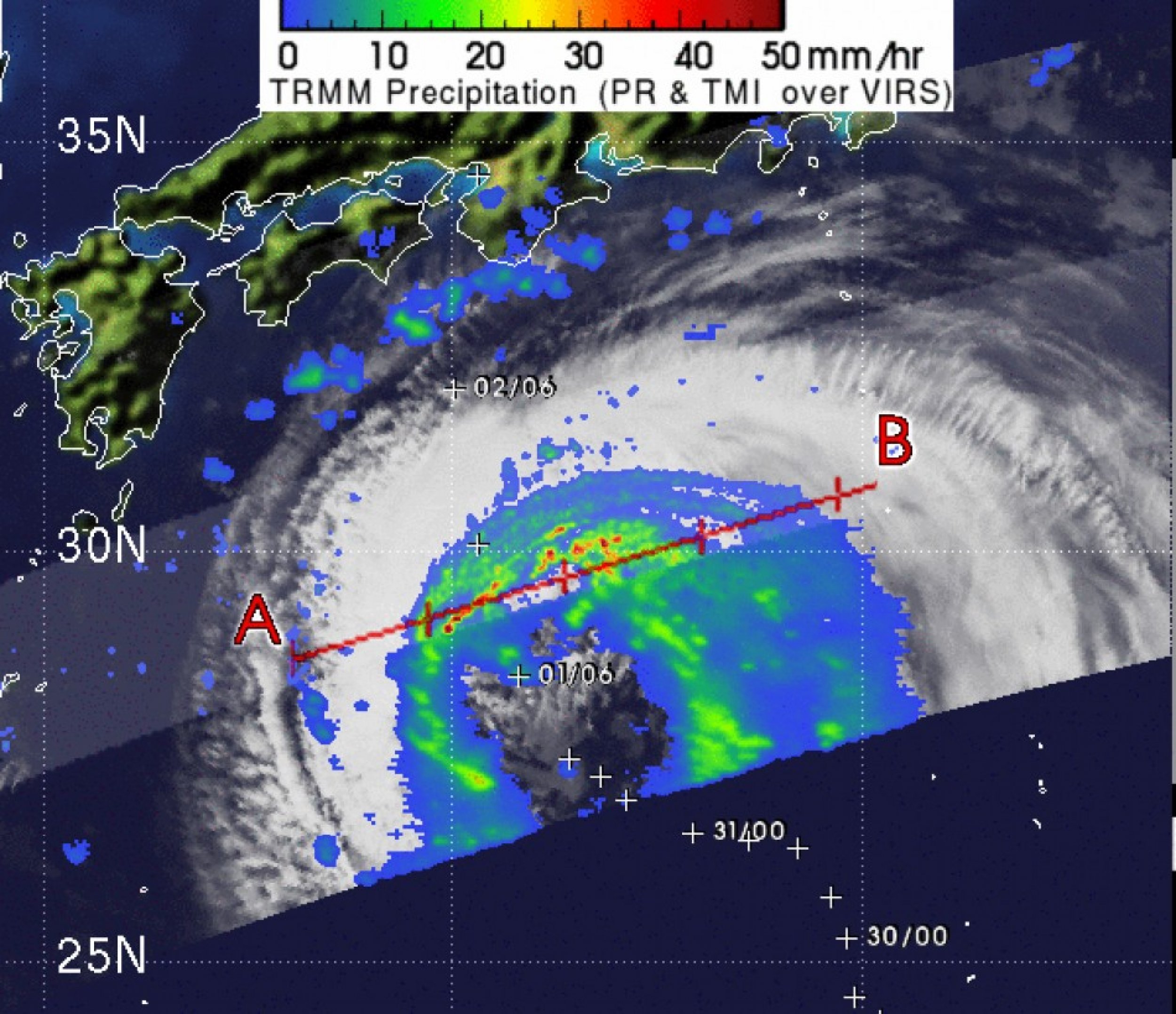
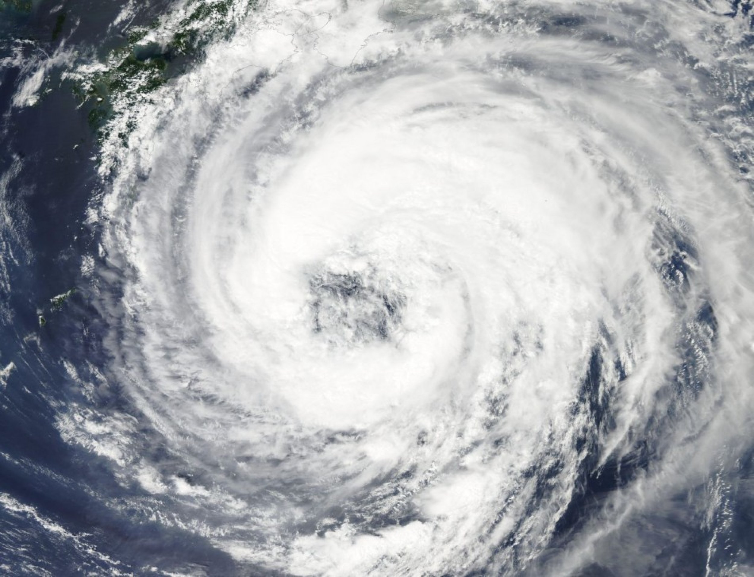
Typhoon Talas Barrels Towards Japan; Heavy Rain, Landslides Likely (PREDICTION MAPS, NASA IMAGES)
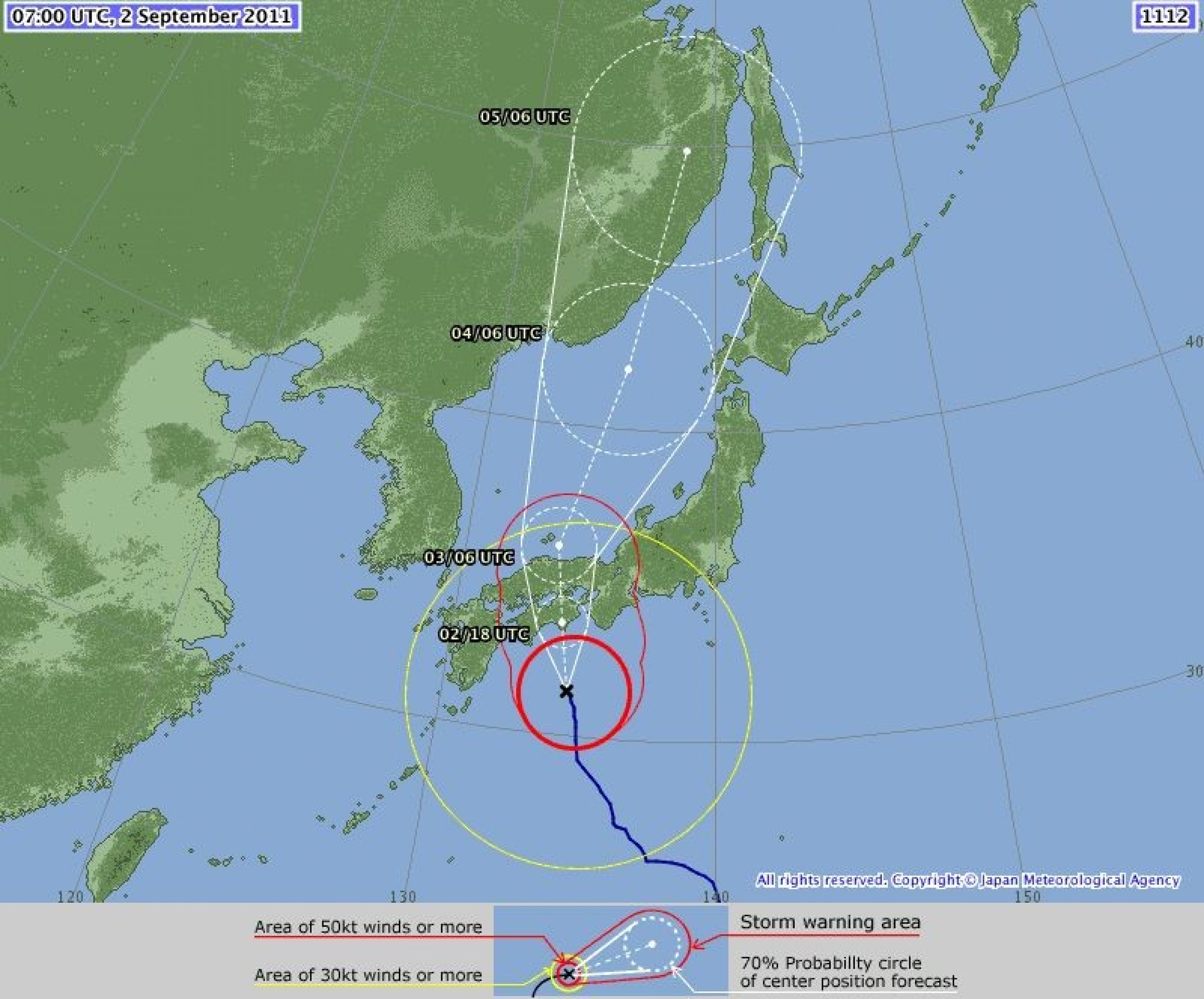
Talas, the fifth typhoon of the 2011 Pacific season, headed towards the Shikoku and Hiroshima regions of the Japan archipelago Friday.
The Japan Meteorological Agency said the typhoon is moving with a maximum sustained wind speed of 30 meters per second and a central pressure of 965 hPa.
The active tropical cyclone is moving slowly towards the northwest and is expected to cause heavy rains and landslides over the western and central areas by Saturday.
Heavy rains have already started in the southern coast. In Tokyo, roads were flooded already and more rain was expected over a prolonged period as the slow-moving storm approached.
In Shunan, Yamaguchi, extremely heavy rainfall of 66.5 millimeters per hour was observed, with rainfall of 69.0 mm in Yamanakako, Yamanashi, and 49.5 mm in Ichinoseki, Iwate, which exceeded overall records for the entire month of September.
JMA has already issued landslide warnings in the prefectures of Tokushima, Wakayama, Nara, Mie, Shizuoka, Yamanashi, Saitama, Gunma, Tochigi, Iwate and Hokkaido.
By Thursday, storm clouds had reached the southern shores of Japan and the U.S. Navy's Joint Typhoon Warning Center reported that Talas had maximum sustained winds of 55 knots (100 kilometers per hour) and gusts up to 70 knots (130 kilometers per hour).
The center described Talas as a puzzling storm. The analysis continues to reveal an unusual upper-level pattern with an upper low over the center and anticyclonic flow around the periphery.
Models of the storm's course varied, but the JTWC forecast that Talas would likely travel northward and weaken as it passed over Japan.
Check the prediction map details provided by JMA below.


© Copyright IBTimes 2024. All rights reserved.


