

4-Billion-Year-Old Piece Of Earth’s Crust About Ireland’s Size Discovered By Scientists
KEY POINTS
- Lasers thinner than human hair were used to target grains of a mineral
- The crust is thought to have been affecting Western Australia's geological evolution
- Many regions around the world are suspected of experiencing a similar timing of crust formation and preservation
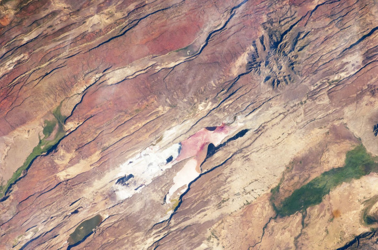
Scientists have found an ancient piece of Earth's crust hidden under the South-West of Western Australia (WA), and it's dating back four billion years. This gives a clue on how the Earth transformed from an uninhabitable place into a planet that can support life.
There is a distinct 100,000-square-kilometer region of the ancient crust beneath much of the western Yilgarn Craton, cropping out in the Narryer Terrane, researchers wrote in their study, which was published in the journal Terra Nova.
Led by Ph.D. student Maximilian Droellner, the Timescales of Mineral Systems Group at Curtin's School of Earth and Planetary Sciences targeted microscopic grains of a mineral extracted from beach sand with the use of lasers thinner than human hair.
Scientists Discover a 4-Billion-Year-Old Ancient Piece of Earth’s Crust Underneath Western Australia https://t.co/bb5V3X3XuO
— SciTechDaily (@SciTechDaily1) August 21, 2022
Droellner believes the ancient crust "about the size of Ireland has been influencing the geological evolution of WA for the past few billions of years and is a key ingredient of rocks formed in WA across this time."
"This piece of crust has survived multiple mountain-building events between Australia, India and Antarctica and appears to still exist at tens of kilometers of depth under the South-West corner of WA. When comparing our findings to existing data, it appears many regions around the world experienced a similar timing of early crust formation and preservation," Droellner explained, according to a news release.
"This suggests a significant change in the evolution of the Earth some four billion years ago, as meteorite bombardment waned, crust stabilized and life on Earth began to establish," the study lead continued.
The laser technology was utilized in such a way that the lasers vaporized parts of each grain of zircon, eventually uncovering where the grains were eroded from at first, as well as the region's geological history, Dreollner added. The discovery helps shed light on how the Earth became habitable over time.
Virtually untouched, this region has not been subjected to many large-scale studies, according to research supervisor Milo Barham. This is essentially why this research has led to new learnings.
"The edge of the ancient piece of crust appears to define an important crustal boundary controlling where economically important minerals are found," Barham said, as per the news release.
"Recognizing these ancient crustal remnants is important for the future of optimized sustainable resource exploration. Studying the early Earth is challenging given the enormity of time that has elapsed, but it has a profound importance for understanding life's significance on Earth and our quest to find it on other planets," the research supervisor concluded.
© Copyright IBTimes 2026. All rights reserved.
- MOST POPULAR IN Science


