

NASA, Scripps Use Technology Used In Smartphones To Boost Early Warnings Of Natural Calamities Like Floods, Earthquakes

A new technology, similar to the one used in smartphones, can help scientists get early and more accurate warnings about extreme weather systems, tsunamis and earthquakes, researchers said.
Researchers at the Scripps Institution of Oceanography in La Jolla, Calif., and NASA’s Jet Propulsion Laboratory, or JPL, in Pasadena, Calif., have enhanced existing GPS technologies with a particular type of sensor typically used in smartphones, video games and laptops, to develop a system that can warn of natural disasters. These small, inexpensive seismic and meteorological sensors are similar to the tiny accelerometers called Micro-Electro-Mechanical System used in communication devices, and are more accurate than existing warning systems.
“Meaningful warnings can save lives when issued within one to two minutes of a destructive earthquake, several tens of minutes for tsunamis, possibly an hour or more for flash floods, and several days or more for extreme winter storms,” Yehuda Bock of Scripps said.
The system uses real-time information constantly received from GPS stations upgraded with the sensors, and placed at critical locations such as tall buildings, hospitals, and in regions that are most at risk from natural hazards. The technology is based on a combination of GPS, accelerometer, pressure, and temperature data, and can be integrated into other real-world applications, according to the statement.
In the event of an impending natural calamity, data from the sensors record even the slightest changes or movement to the installations, and warn scientists. And, their integration into communication devices can help responders take the right measures to reduce danger to public safety by sending alerts to concerned officials.
For instance, in case of a bridge or hospital collapse due to an earthquake, the authorities and emergency workers can assess the level of damage to the structures by analyzing data from the sensors. The technology also improves early-warning systems for earthquakes, by analyzing the very first moments of an earthquake in real time to alert the more violent shaking that will follow.
“The early warning system is particularly effective during large earthquakes, when existing seismic methods have difficulty determining a rapid and accurate estimate of magnitude,” a statement from Scripps and NASA said.
The upgraded GPS system can also provide accurate warnings about extreme weather patterns by providing critical information about atmospheric pressure and moisture. These data can complement the existing data received through satellite mapping and balloon launches.
“This GPS network provides forecasters with timely and critical information on the availability of atmospheric moisture, allowing us to more accurately forecast and warn for potentially deadly flash flooding and wintertime heavy precipitation events in Southern California,” Mark Jackson, meteorologist in charge of NOAA’s National Weather Service office in Oxnard, Calif., said.
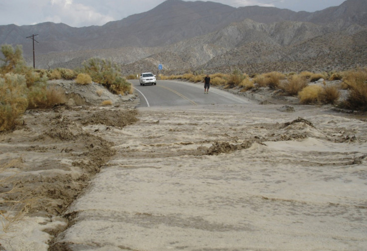
The researchers successfully used the new technology in July to track a summer monsoon rain event that affected Southern California and issue more accurate and timely flash-flood warnings.
© Copyright IBTimes 2025. All rights reserved.
- MOST POPULAR IN Science


