

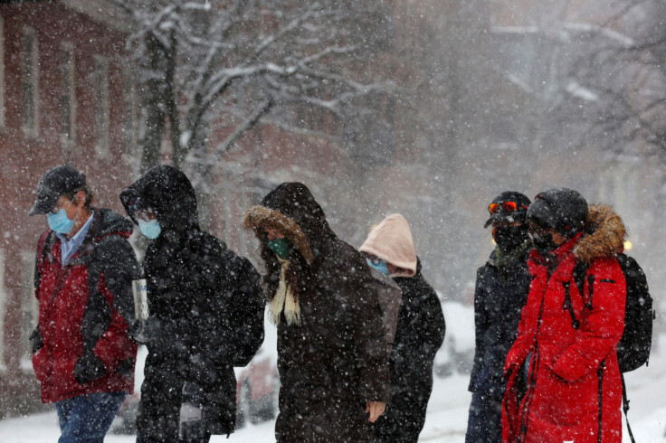
Weather: Over 20 Areas Under Winter Storm Warnings Amid Heavy Snow In Four Corners

KEY POINTS
- Up to 24 inches of snow is possible in the Rincon and White Mountains of Arizona
- Officials are expecting up to 28 inches of snow in Utah's southern mountains
- Wind gusts of up to 90 miles per hour are possible in the Guadalupe Mountains of New Mexico
At least 22 areas have been placed under winter storm warnings, as heavy snow is expected to fall across the Four Corners region through Tuesday. In some mountainous locations, up to 28 inches of snow is expected.
"Heavier snow is expected at higher elevations in the mountains from the Cascades into the Great Basin and the Four Corners region," the National Weather Service's Weather Prediction Center (WPC) said in a report Sunday.
The Four Corners region consists of northeastern Arizona, southwestern Colorado, southeastern Utah and northwestern New Mexico.
Other locations will get heavy snow through Monday, but the WPC also noted that some areas such as Wasatch, the White Mountains and San Juan are expected to see heavy snow through Tuesday morning.
In Arizona, weather officials are expecting up to 16 inches of snow accumulations in the Santa Rita Mountains and up to 24 inches of snow totals in the Rincon and White Mountains.
⚠️Update: Winter Storm
— NWS Tucson (@NWSTucson) January 15, 2023
On and off valley rain and mountain snow on track.
Snow levels at 7,000 ft until this evening then lowered to 6,000 ft and above.
Wind gusts 40-50mph east of Tucson, so be aware for traveling on I-10 for strong winds and blowing dust. #azwx pic.twitter.com/qWfW6e4eT9
Strong wind gusts of up to 50 miles per hour are expected east of Tucson. Officials also warned of blowing dust and strong winds in the I-10 area.
In Colorado, heavy snow isn't expected until Tuesday evening through Wednesday evening, the NWS in Boulder said.
A good portion of the mountains are seeing light snow showers this evening that will end around midnight. Across the plains, there are scattered rain and snow showers. Areas in far northeast Colorado may see an inch or two of snow tonight. #COwx pic.twitter.com/o0EZxL478r
— NWS Boulder (@NWSBoulder) January 16, 2023
While snow totals are only expected to reach up to 10 inches in portions of Colorado, including Fort Morgan and Akron, officials said hazardous travel conditions are still possible. Residents have been urged to exercise caution when driving from Tuesday afternoon through Wednesday afternoon.
Officials at the NWS in Salt Lake City warned of heavy snow to start spreading across southern Utah Monday morning before the winter event reaches the northern areas by Monday afternoon.
Another winter storm will move into southern Utah late tonight/Monday morning and gradually spread into central Utah as we head through Monday morning. Ultimately, snow will reach northern Utah by afternoon/early evening. Snow will taper off late Tue night. #utwx pic.twitter.com/7SslJyfDk6
— NWS Salt Lake City (@NWSSaltLakeCity) January 16, 2023
In the southern mountains, up to 28 inches of snow is possible, officials warned.
The Utah Avalanche Center has also placed the avalanche danger in the Provo Mountains to high, as officials said both natural and human-triggered avalanches "are very likely" in avalanche terrain.
Meanwhile in New Mexico, the NWS in Albuquerque said weather conditions "will be slow to improve if at all Monday" in the western and northern parts of the state. Heavier winter weather is expected Tuesday.
Conditions will be slow to improve if at all Monday through western and northern NM. The next storm system arrives Tue and Tue night bringing more winter wx impacts. A break arrives Wednesday and Thursday, but with much colder temperatures settling in. #NMwx pic.twitter.com/SwHK9O4tVj
— NWS Albuquerque (@NWSAlbuquerque) January 15, 2023
Alerts in Arizona
Winter storm warning effective through 5 p.m. Tuesday:
- Northwest Deserts and Northwest Plateau (wind gusts of up to 40 mph possible)
Winter storm warnings effective through 11 p.m. Tuesday:
- Galiuro and Pinaleño Mountains, Summerhaven, Rincon and Santa Catalina Mountains, White Mountains of Graham, Hannagan Meadow and Greenlee (up to 24 inches of snow accumulations possible)
- Chiricahua Mountains, Santa Rita Mountains, Huachuca Mountains, Mule Mountains, Dragoon Mountains, Madera Canyon and Canelo Hills (up to 16 inches of snow accumulations possible)
- Yavapai County Mountains, eastern and western Mogollon Rim, Sycamore Canyon, Oak Creek Canyon, northern Gila County, Grand Canyon County, Coconino Plateau and Kaibab Plateau (up to 20 inches of snow accumulations possible)
Winter weather advisory effective through 11 p.m. Tuesday:
- Chinle Valley, Defiance Plateau, Black Mesa area and Chuska Mountains (up to 15 inches of snow accumulations possible)
Alerts in Colorado
Winter weather advisories effective through 5 a.m. Monday:
- Elkhead Mountains, Flat Tops, Park Mountains, Tavaputs Plateau and Roan Plateau (up to 12 inches of snow accumulations possible)
- Gore and Elk Mountains
Winter storm watch effective through 5 p.m. Wednesday:
- Washington, Phillips, Broomfield, Sedgwick, Morgan, Logan, Larimer County below 6,000 feet, northeast and northwest Weld County, Denver, West Adams, Arapahoe and Boulder County below 6,000 feet
- Jefferson County below 6,000 feet, North and northeast Elbert County below 6,000 feet, Elbert, central and south Weld County, North Lincoln County, central and east Adams
Winter storm watch effective through 11 p.m. Wednesday:
- Yuma County
- Kit Carson County
Alerts in Utah
Winter storm warnings effective through 5 p.m. Tuesday:
- Bryce Canyon Country and upper Sevier River Valleys
- South Central Utah
Winter storm warnings effective through 5 a.m. Wednesday:
- Southwestern Utah
- Southern Mountains (up to 28 inches of snow accumulations possible in the Pine Valley and Tushar Mountains)
Winter weather advisory effective through 5 p.m. Tuesday:
- Castle Country
Winter weather advisories effective through 5 a.m. Wednesday:
- Central Mountains, western Uinta Mountains, Book Cliffs, Wasatch Plateau and Wasatch Mountains South of I-80
- Eastern Juan, Sanpete Valley and western Millard
Alerts in New Mexico
Winter storm warning effective through 6 a.m. Monday:
- Southwest Mountains
Winter weather advisories effective through 6 a.m. Monday:
- Chuska Mountains
- Black Range, Sacramento Mountains above 7,500 feet and southern Gila Highlands
High wind warning effective through 9 p.m. Monday:
- Guadalupe Mountains of Eddy County (wind gusts of up to 90 miles per hour possible)
© Copyright IBTimes 2026. All rights reserved.
- MOST READ


