

Google Street View Maps Jerusalem for Virtual Tour
Google’s Street View, which lets Web surfers explore places around the world through 360-degree street-level imagery, soon will soon provide street-by-street images of Jerusalem.
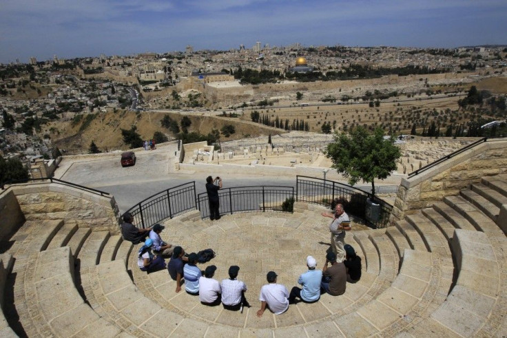
A featured technology in Google Maps and Google Earth, Street View mapping will enable virtual tourists have panoramic views of the many cultural and historical as well as modern sites throughout Jerusalem and rest of Israel.
Filming of the sites in Jerusalem has already begun and tourist attractions in Tel Aviv, Haifa, Nazareth and other towns will be mapped in the next few months, Google announced at a press conference outside the Old City walls in Jerusalem in early September.
It will be the first time Israel will be placed on the digital map, Google said, adding that Jerusalem is the first Israeli city to get the service.
Google launched Street View in 2007 and has mapped selected cities across the world. The United States was the first country to have Street View images.
In 2010, Jerusalem received a record of more than 3 million tourists, in a rebound after the global downturn and Gaza war. An improved security situation has also helped, according to Israel’s Tourism Ministry. The ministry aims to attract 5 million tourists by 2015.
Google Street View is seen as an important tool to attract virtual tourists who might visit in person.
© Copyright IBTimes 2025. All rights reserved.
- MOST POPULAR IN Technology


