

NOAA, NASA GOES-16 Weather Satellite Sends First Lightning Images To Make Prediction Easier
Since its launch in November and going online a few weeks later, the GOES-16 weather satellite has already sent back a trove of invaluable data to its operator, the National Oceanic and Atmospheric Administration (NOAA). And the country’s most advanced weather satellite began Monday transmitting to Earth images and data related to lightning over the Western Hemisphere.
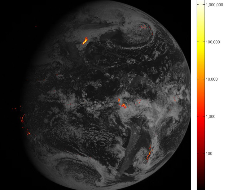
An instrument — the Geostationary Lightning Mapper — aboard the satellite is the first lightning detector in a geostationary orbit and it looks for lightning flashes over the hemisphere continuously. A rapid increase in the flashes, as seen by GLM, would indicate the strengthening of a storm and the possibility of severe weather. The instrument also gathers data about whether thunderstorms are gathering strength or stalling during heavy rains, allowing forecasters to predict floods and flash floods.
It is not just wet weather that GLM can help with. Lightning strikes in dry areas, such as in western United Sates, often cause wildfires during the summer. Data from GOES-16 can help identify potential dangers and allow for warnings to be issued ahead of time.
Other than tracking lightning strikes over the landmasses in the Western Hemisphere, GLM also has a couple of other capabilities that make it a very useful tool.
It can detect lightning inside clouds, which usually occurs several minutes before potentially destructive lightning strikes from clouds to ground. It also tracks lightning and thunderstorms across oceans, which are often too far from land-based radar systems. These abilities, when used by forecasters, will make it safer for people spending time outdoors, as well as for marine and aerial navigation.
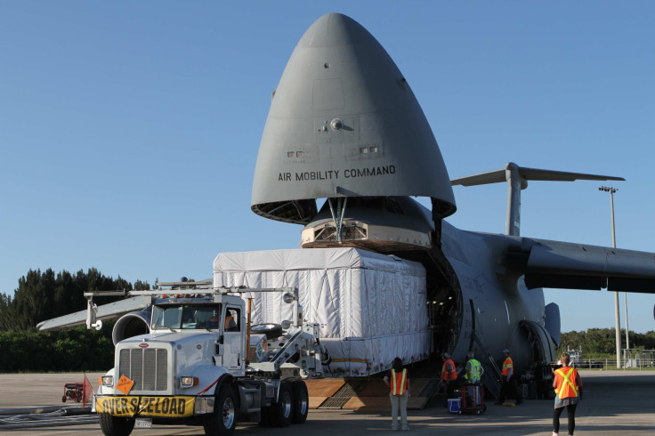
GOES-16 was launched as GOES-R by NASA from the Cape Canaveral Air Force Station, Florida, on Nov. 19, and was renamed after it achieved orbit. It observes Earth from its vantage point about 22,300 miles above the equator.
You can track the progress of the various instruments onboard GOES-16 on NOAA’s website.
© Copyright IBTimes 2025. All rights reserved.
- MOST POPULAR IN National


