

Apple Maps Tip: How To Use Public Transit Directions

KEY POINTS
- Apple Maps is capable of providing detailed transit instructions
- The transit details include transit lines, stop, as well as estimated departures and arrivals
- The feature is easy to use and can also work with an Apple Watch
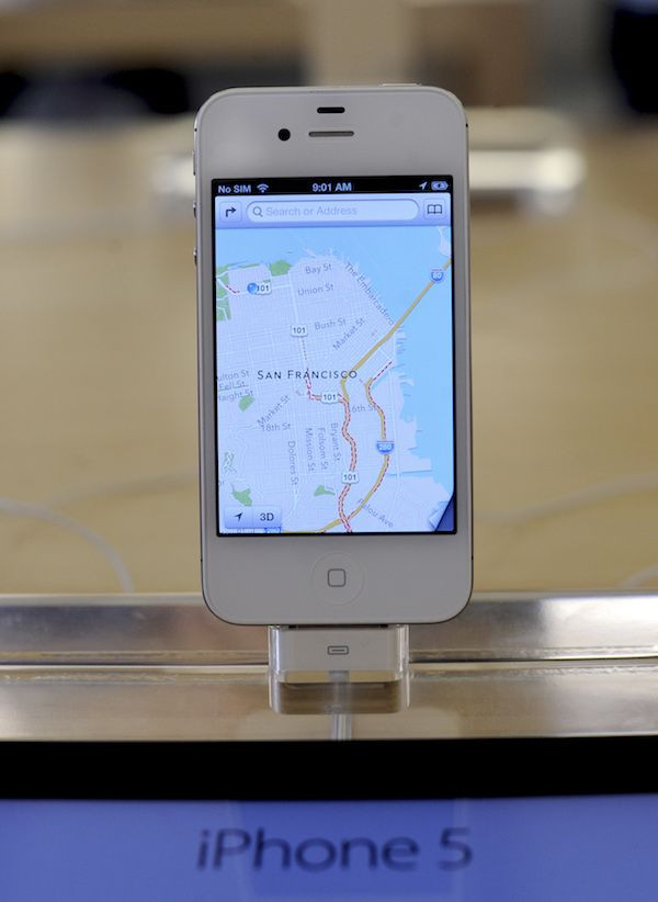
Consumers who have invested in Apple's ecosystem of mobile devices including the iPhone and the iPad will be glad to know that Apple Maps, the company's own mapping app, is actually capable of providing detailed transport features that will make it a very helpful tool when going around.
Apple Maps is capable of providing transport details, including train and tram schedules (for those in Europe), as well as the estimated time of arrivals (ETAs) for each. The iPhone maker recently expanded its coverage across Europe, Cult of Mac noted, which means European commuters, as well as tourists visiting the region, will benefit from the mapping app.
Here's how to use Apple Maps' Public Transit features:
Knowing lines and stops
- First, users have to launch Apple Maps on their iPhone or iPad. After launching, users should tap on a transit stop to access a list of available lines. The list displays information depending on the transit line the user tapped: tram schedules for the tram line, and so on.
- Second, after choosing the transit stop, users should tap on a specific line included in the list of availabel transit lines. This will display details about upcoming departures, ETAs and more. Tourists who aren't familiar with the stops included in the line will be able to view previous and upcoming stops. This will be very helpful in knowing where to board and alight when traveling.
Getting specific directions
Those who want to get specific transit directions can do so by doing the following:
- First, users should enter a search (a target destination, for example) then tap on Directions. A list containing available walking or driving directions will appear after tapping on it.
- Second, once the list appears, users should tap on Transport at the bottom of the list (a blue button beneath the list). This will bring up a list of possible routes that users can take.
- Third, the app will display multi-modal transport options. Some of these will include a combination of bus and train rides, a metro ride, and so on.
- Fourth, users should choose their preferred route and tap on Go. This will engage the turn-by-turn section of the Maps app. Those who are using an Apple Watch will be able to use this feature without having to pull their devices out.
© Copyright IBTimes 2025. All rights reserved.
- MOST POPULAR IN Technology


