

NASA 'Fire Towers' In Space Monitor Growing Number Of Wildfires

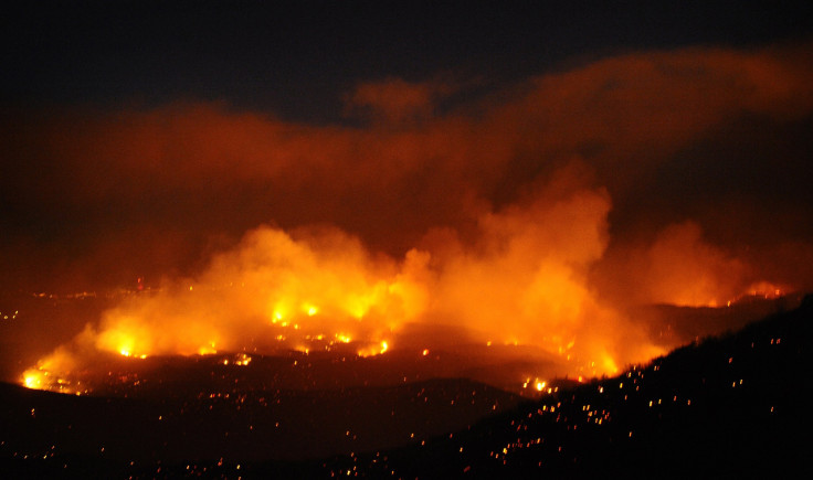
With an increase in the number of wildfires across the nation, NASA's fleet of fire-spotting satellites have been clocking even longer hours than usual.
The government's fire towers in space have been in use for more than an decade, reports MSN. They have largely replaced most of the conventional fire towers on Earth which now serve alternative roles that include elegant, repurposed mountain homes.
"Over the last 30 years we have seen an increase in hot and dry conditions that promote fire activity," said Doug Morton, a scientist at NASA's Goddard Space Flight Center in Greenbelt, Md. "And across the Western U.S. and Alaska, satellites show an increase in the area that burns each year over that same time period."
The first actively burning fires to be detected from space were those of gas flares produced by oil fields in the 1980s. Scientists Jeff Dozier and Michael Matson discovered the small points of white light on images of the Persian Gulf being transmitted from a satellite owned by the National Oceanic and Atmospheric Administration.
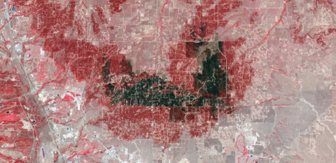
MODIS, launched in 1999, was the first satellite capable of monitoring fires. This launch was followed by the creation of the 2003 Landfire program that combined satellite and U.S. Geological Survey data to assist in determining which wildfires needed the highest priority when both supplies and firefighters are spread thin.
NASA uses two different types of satellites daily in their work tracking wildfires, reports Live Science. According to Morton, the agency has the ability to send text updates to fire managers within just 30 minutes of locating a fire on a geostationary weather satellite. This messages are reserved for only the largest of fires.
This year, fires have burned close to 2.5 million acres of land. During this same time last year, fires had schorched 4.9 million acres. But according to Elizabeth Reinhardt, assistant director for fire and aviation management with the U.S. Forest Service in Washington, D.C., the total number of acres burned is continuing to increase each year. The reason for this increase is not yet fully understood.
"Whether it's because we've been so successful at suppressing them or because we've had cool, wet decades, it's hard to say," Reinhardt said during a Google+ hangout devoted to the future of wildfires. "It's difficult to know to what extent the current fire increases are climate-driven or fuel-driven."
2013 is reported by NASA to be a mild year for wildfires in America. But Morton adds that the intense wildfires seen in 2012, which was the hottest year on record in U.S. history, are likely to become the new normal by the centuries end.
© Copyright IBTimes 2025. All rights reserved.
- MOST POPULAR IN Technology


