

Extreme Weather Continues As 2 Tropical Depressions Forecast To Become Hurricanes Are US Bound
KEY POINTS
- The National Hurricane Center is tracking two tropical depressions, one in the Caribbean Sea and one in the Atlantic Ocean
- Tropical depression 13 is projected to move westward into the Gulf of Mexico as it hits the Caribbean Islands and southern Florida
- Tropical depression 14 is located off the coast of Honduras and is moving northwest toward eastern Texas
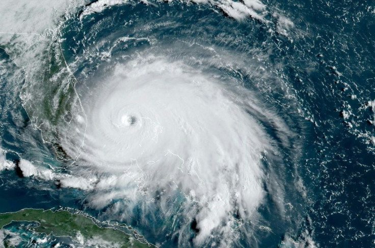
The 2020 Atlantic hurricane season shows no signs of slowing down as the National Hurricane Center is tracking two tropical depressions both bound for the coastal U.S.
As of Friday, Tropical depression 13 was moving west-northwest toward Puerto Rico at 21 mph and had sustained winds around 35 mph. Tropical depression 14 was sitting off the coast of Honduras moving west-northwest at 12 mph with sustained winds also averaging 35 mph.
Josephine and Kyle are the next two names on the NHC’s list of storm names for the 2020 season.
The formation of these fronts come as large swaths of the U.S. is still recovering from a string of severe weather over the last month. Millions were left without power in the U.S. Northeast in the wake of Hurricane Isaias pushing through the region at the beginning of August. New York Gov. Andrew Cuomo and Connecticut Gov. Ned Lamont have since ordered investigations into the responses by various power companies across the state.
It was a similar case in the Midwest after a derecho hit the region between Aug. 10 and Aug. 12. Hundreds of thousands of customers were still without power, with Iowa in particular struggling during its recovery efforts.
Tropical depression 14 is most pressing of the two storm fronts currently building strength between the Atlantic Ocean and Caribbean Sea. Widespread storms and showers have been reported along the coast of Honduras and the northern coast of Nicaragua. It is forecast to slowdown as it is projected to begin moving northward toward Texas while hammering coastal areas of Central America over the weekend.
“The system is expected to move into the south-central Gulf of Mexico as a tropical storm on Sunday,” the NHC said.
Projections have the front strengthening to a category one hurricane by Monday as it enters the open Gulf of Mexico. U.S. landfall is forecast to begin on Monday and encompass a large part of Louisiana and eastern Texas before it dissipates.
The Caribbean will find itself sandwiched during this time by tropical depression 13 as it pushes westward from the open Atlantic into the Gulf of Mexico during the weekend.
“Tropical storm conditions are possible across portions of the northern Leeward Islands, the Virgin Islands, Puerto Rico, the southeastern Bahamas, and the Turks and Caicos Islands later today through Saturday night, and tropical storm watches have been issued for some of these islands,” the NHC said. “Heavy rainfall is likely across this area beginning today and could cause mudslides and flash and urban flooding through Sunday.”
It is forecast to also strengthen into a category one hurricane by Monday, hitting the west and southwest coast of Florida as the storm shifts northbound. Landfall is projected to hit northwestern Florida, southern Alabama, and southern Mississippi around the same time tropical depression 14 is set to hit Texas and Louisiana.
© Copyright IBTimes 2026. All rights reserved.
- MOST READ


