

Tornadoes In Oklahoma, Arkansas, Missouri: Severe Thunderstorms Cause Damage Across South-Central US

As severe thunderstorms continue over south-central plains of the United States, as many as 19 tornadoes were confirmed Tuesday, leaving a trail of damage in their path across states like Oklahoma, Missouri and Arkansas.
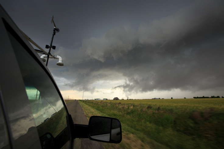
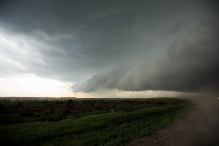
"Widespread severe thunderstorms broke out today [Tuesday] across northern Texas, central Oklahoma, northwestern Arkansas, and southern Missouri. Conditions were ripe for tornadoes to develop as several discrete supercells developed this afternoon," AccuWeather meteorologist Brett Rossio said. “A few of the tornadoes were strong with debris being reported from a tornado near Wheaton, Missouri, and another that tore the roof off a house near Boone, Arkansas.”
The severe threat has been increased to Moderate across OK/AR/MO as recent observations show a increasingly favorable environment for tornado formation. Numerous tornadic supercells are ongoing and those in the area should monitor local NWS/Media/Emergency officials for updates. https://t.co/yXZIVouK6r
— National Weather Service (@NWS) April 30, 2019
There was damage to at least one home in Wheaton, Missouri, where a tornado touched down about 67 miles southwest of Springfield, the Newton County Emergency Management office confirmed on Facebook. Emergency Management Director of Rogers County, Oklahoma, Scotty Stokes, told weather.com that at least four buildings and several barns and outbuildings had been damaged due to tornadoes. A home and other buildings were damaged west of Highway 169, north of Talala, Oklahoma. There were no reported injuries in any of the states.
Extensive damage to home and surrounding structures just west of Hwy 169, north of Talala. Was told by emergency crews a woman rode out the tornado inside the home and was uninjured! #okwx @FOX23 @jamesaydelott @LauraMockWX @NWStulsa pic.twitter.com/9pzLmDVWlE
— Brad Carl (@DCBradCarl) April 30, 2019
Storm damage in Wheaton, MO from earlier this evening. @JesseInmanKOLR says no reports of injuries. @kolr10kozl pic.twitter.com/8yg9NW4phv
— Heather Buechter (@HeatherLewisTV) May 1, 2019
Meanwhile, a tornado near Sulphur, Oklahoma, was captured by a drone in an incredible video.
A tornado warning was issued by the National Weather Service at 9:25 p.m. CDT (10:25 p.m. EDT), Tuesday for Bryan and Atoka Counties in Oklahoma. “Flying debris will be dangerous to those caught without shelter. Mobile homes will be damaged or destroyed. Damage to roofs, windows, and vehicles will occur. Tree damage is likely,” the warning said.
Also, a tornado watch issued for central Missouri was extended to 11 p.m. CDT. The watch included cities like Camdenton, Decaturville, Fort Leonard Wood, Laquey, Northwye, Osage Beach, Roach and Rolla.
As a result of the severe weather, schools in Bentonville, Arkansas, were closed Tuesday. A number of high school students sought shelter inside their school buildings, while others were removed from their buses to seek shelter inside the closest schools.
There were also flash floods and baseball-sized hail reported in a number of states due to the severe weather system. The thunderstorms – although slow-moving – are headed from south-central part of the country to the southern plains and the Midwest. As a result, several other states may experience over two inches of rain and flash flooding later in the week.
“The potential for severe weather will be ongoing tonight [Tuesday night] across eastern Oklahoma, northern Texas, northern Arkansas, and southern Missouri. Much of this thunderstorm activity is anticipated to consolidate into a line, but embedded tornadoes can still develop within this line of storms," Rossio said. “These storms will likely train over the same locations, yielding 3 to 5 inches of rain in some areas. This can be especially dangerous for motorists at night that will likely have difficulty seeing flooded roadways ahead of them.”
The National Weather Service’s Prediction Center stated that “tropical moisture from the Atlantic will move inland over Florida and into parts of Georgia on Thursday. Diurnal heating and the moisture will aid in producing showers and thunderstorms over the area Wednesday evening into Thursday evening.”
© Copyright IBTimes 2025. All rights reserved.
- MOST POPULAR IN National


