Avoid 200 Frozen Dead Bodies On Mount Everest By Exploring With Google Street View
Thinking of quitting your job and climbing Mount Everest? Step one: Open Google Street View.
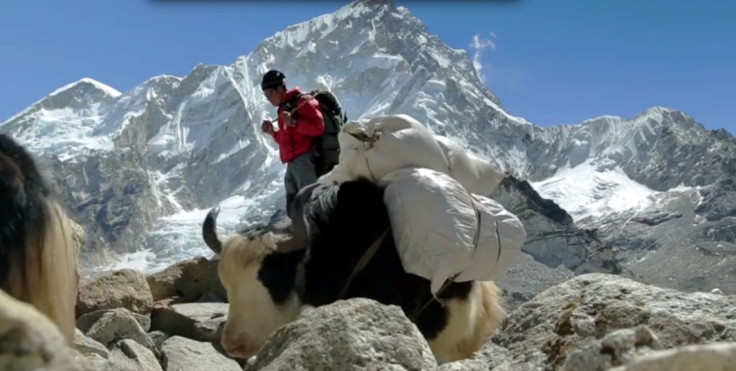
Google has expanded its popular service to include the Khumbu region of Nepal, where explorers from around the world start their trip to the top of the world's highest mountain. Along with images of Everest, Street View also includes powerful pictures of the surrounding locale, where monasteries, travel lodges and schools exist alongside yaks.
The images, made available for the first time Thursday, were the result of a 10-day trip through Nepal's Khumbu region. Representatives from Google Earth Outreach and Story Group, a Nepalese nonprofit, documented the majestic area that the Himalayan Sherpa people call home.
“My hope is that when people see this imagery online, they'll have a deeper understanding of the region and the Sherpa people that live there,” said Apa Sherpa, one of the most respected mountaineers in the region, as quoted by ABC News. “The region has much more to offer than just the mountain.”
While viewing the landscape from behind a screen won't be as exhilarating as actually taking the trek, checking out Mount Everest via Street View will also help armchair explorers avoid the 200-or-so dead bodies still frozen on the mountain. Corpses are so prevalent on the trail that guides use them as landmarks en route to the summit, knowing when to turn and to take cover based on their proximity to the dead, who have been preserved because of low oxygen and freezing temperatures.
© Copyright IBTimes 2026. All rights reserved.
- MOST POPULAR IN Technology