

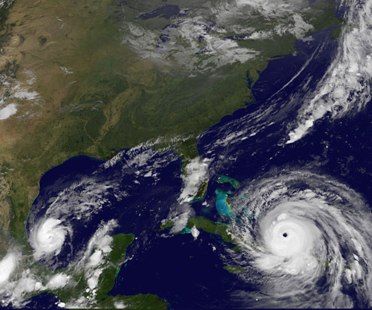
Hurricane Irma Alerts: Google Maps For Real-Time Updates, Other Tech Aids Available
Google has teamed up with the Florida to provide the citizens with real-time road closure updates during Hurricane Irma so they can evacuate to safety. Governor Rick Scott has advised residents to use softwares, websites, and apps such as Google Maps if they need to leave their homes when the Level 5 storm hits the state this weekend.
Users will have instant and constant access to such updates so that they don’t get stuck during the hurricane and endanger their safety.
"Our thoughts are with those affected by Hurricane Irma. To provide access to accurate and useful transportation information, we use algorithmic and manual methods to account for everyday and emergency road closures. We're working directly with Florida officials to help provide up-to-date information to those affected by the storm. These road closures will also appear on our Irma Crisis Map, embedded as part of our SOS Alert on Search," Google stated in a statement to Verge on Thursday.
As the storm closes in on Florida, every effort to rescue residents and minimize the loss of life and property needs to be made. Tech aids such as Google Maps might come in handy.
Here are some of the tech aids that residents can use:
Snapchat Snap Maps
It might seem unusual, but you can actually use the short video app Snapchat during the hurricane. The app’s Snap Maps feature lets users share their location publicly and even with friends on an interactive map. Users can also use the Snapchat Stories to upload videos documenting the hurricane.
On Wednesday, video curation platform Our Story curated a collection of such videos on a Snap Maps showing residents preparing for the storm along with flooded runways and hail storms.
Discord
Florida residents are also using the gaming chat app Discord for communication during the hurricane. The free voiceover internet protocol app is primarily be used by gamers but its 45 million userbase may come in handy while seeing alerts during the hurricane.
There are also chats available explaining how to use stuff such as hurricane shutters and where to find sandbags.
It is also providing Hurricane Irma news, tips, and other posts.
Accuweather
Accuweather, the weather monitoring app, will send out specialized weather alerts during the hurricane. It will provide users with push notifications whenever a major alert or warning is issued. The notification will also use the smartphone’s speakers and be loud enough to wake people asleep and at risk during the storm.
Zello
Zello is a free walkie-talkie app, which is currently the top-rated app in the app store due to its use during Hurricane Harvey. The app lets users join channels and send out voice-messages in these channels to ask for help or inform others using its push-to-talk feature. It has five channels dedicated to Hurricane Irma news and updates with more than ten thousand subscribers on each.
Users can tune in to live broadcasts of rescues and make a difference as volunteer citizen.
© Copyright IBTimes 2025. All rights reserved.
- MOST POPULAR IN Technology


