

NASA Research: Survey Of Greenhouse Gas Levels To Help Predict Climate Change
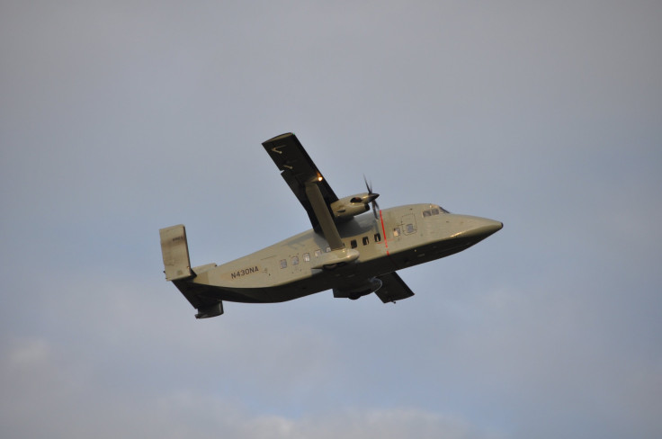
If you live in the mid-Atlantic region of the United States you may notice something different in the sky this month. NASA plans to measure the levels of greenhouse gases in the air over the mid-Atlantic region this month via airplane. Researchers are specifically looking to measure the exchange of greenhouse gases that goes on between the air and the vegetation on land.
The campaign, called the Carbon Airborne Flux Experiment will last the month with the goal of giving the researchers involved a better understanding of the way greenhouse gases impact the Earth. In particular they’ll look at the exchange process called flux and gather information to help improve computer models of carbon sinks.
Read: There's More CO2 In Our Atmosphere Than There Has Been In Millions Of Years
What is a carbon sink?
A carbon sink is an area, either artificial or natural, that absorbs greenhouse gases, particularly methane and carbon dioxide, or CO2. Scientists are trying to better understand these carbon sinks. They’re responsible for absorbing 15 percent to 30 percent of the carbon in the air, NASA said. And that number’s been increasing, but researchers don’t know why it happens or why it’s increasing.
Understanding the carbon sinks is key to mapping future climate change. To predict how much CO2 will be in the atmosphere in the future, researchers need to be able to track how much of it is being reabsorbed by factors like carbon sinks.
This data is traditionally collected by towers with instruments attached to measure greenhouse gases but those towers have their limitations. They can only measure data in the immediate area. So the hope is that with the monthlong study, researchers will fly over various sinks at various altitudes and collect greenhouse gas data.
The plan is to fly “low and slow,” NASA said. That way researchers will have an easier time collecting the 10 measurements they need to learn about these sinks. The instruments attached to the plane include methane and CO2 analyzers, a GPS, wind sensor and others to take into account every factor that may alter the data. “The instruments will measure both greenhouse gas levels along tree lines and vertical wind speeds, which when combined reveal how fast these gases transfer to or from the atmosphere,” a release from NASA said.
Why the mid-Atlantic?
The mid-Atlantic region of the United States contains a wide variety of vegetation and soil that offers the researchers a chance to study a wide variety of plant species. They’ll survey forests, marshlands, agricultural areas, bays, rivers and swamps during the monthlong study.
In the end, the hope is that the researchers will be left with an extremely accurate idea of how quickly trees, vegetation, land and water are all absorbing greenhouse gases.
© Copyright IBTimes 2025. All rights reserved.
- MOST POPULAR IN Technology


