

Apple Maps: Ohio, Maryland, Arkansas And West Virginia Transit Data Added
Apple Maps users in Ohio, Maryland, Arkansas and West Virginia can now retrieve more information about their local transportation systems from the iOS app. The Cupertino giant has just implemented statewide expansions in the aforesaid areas.
MacRumors reported Monday that Apple’s Maps app has once again been updated to include public transportation data in the neighboring states of Ohio, West Virginia and Maryland, as well as in Arkansas. Thus, commuters in the four states can now access bus and train routes in the Maps app for iPhone and iPad devices.
The transit data added to the app comprise arrival and departure times, special service advisories and other information that could help commuters pick which route and public transportation is best for them as they head to their destinations.
In Ohio, Maps users will now be able to navigate with transit in the Akron, Dayton and Toledo areas. Previous updates have already added transit data in Cleveland, Cincinnati and Columbus. As for the other states, the Transit tab now shows transportation information in Little Rock, Arkansas; Frederick, Maryland; and Charleston, West Virginia.
Despite the statewide transit coverage in the four states, Apple Insider says Apple still has a lot of work to do if it really wants to catch up with Google’s Maps service. The latter had a considerable headstart, so Apple has been doing its best to expand its transit coverage. On a global level, Apple already has broad coverage in China, Ireland, Japan and the U.K. But in the U.S., many parts of the country are still left out.
It’s worth noting though that Apple Maps has aggressively expanded its reach recently. In the past two months alone, Apple’s mapping service has added transit data in Tucson, Arizona; Orlando, Florida; St. Louis, Missouri; Albuquerque, New Mexico; as well as in Virginia’s Norfolk and Richmond and South Carolina’s Charleston, Columbia and Greenville.
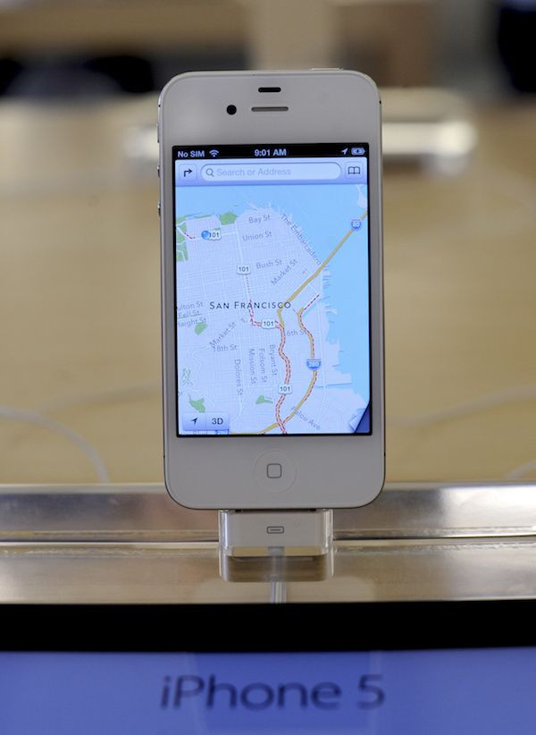
Apple Maps’ Transit feature was launched in 2015 as part of iOS 9. At the time, the mapping service only had transit data in Baltimore, Berlin, Boston, Chicago, London, Los Angeles, Mexico City, New York, Philadelphia, San Francisco, Sydney, Toronto and more than 300 cities in China. To check out all of the cities the feature supports at present, visit the iOS Feature Availability page.
© Copyright IBTimes 2025. All rights reserved.
- MOST POPULAR IN Technology


