

Hurricane Humberto Gaining Strength Near Bermuda, Tropical Disturbance Being Tracked In Southern Atlantic
Hurricane Humberto continues to gain strength as it moves farther out into the Atlantic and could continue growing while another major disturbance forms.
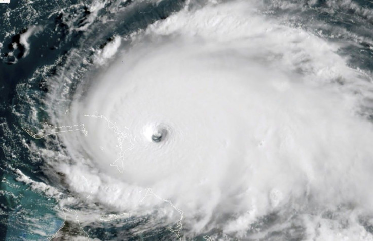
After being upgraded to a Category 1 hurricane on Sunday night, Humberto was upgraded to a Category 2 storm early Tuesday morning. The National Hurricane Center also forecasts that it will continue to grow, possibly into a Category 3 storm, as it moves northeast through the central Atlantic.
Despite moving away from the U.S. coastline, Humberto is expected to hit Bermuda starting Wednesday with tropical-storm-force winds and dangerous surf.
As of Tuesday morning, Humberto was 555 miles west of Bermuda moving northeast at 8 mph with sustained winds of 100 mph. It will continue moving northeast and is not expected to turn back towards the North American coast and eventually dissipate in the northern Atlantic.
While Humberto continues on its path, another disturbance has picked up strength quickly.
The disturbance was picked up by the NHC on Monday forming 1000 miles east of the Lesser Antilles. Its path has also been mapped, with it moving northwest towards the Caribbean. The front is also forecasted to become a tropical depression by the end of the week and possibly continue growing thanks to ideal conditions in the Atlantic.
© Copyright IBTimes 2025. All rights reserved.
- MOST POPULAR IN National


