

Extreme Weather 2019: Tropical Disturbance Near Bahamas Strengthening, Europe Forecasts Alternate Storm Path
A tropical disturbance in the Caribbean was strengthening Thursday as it moved toward Florida and the Gulf of Mexico.
The National Hurricane Center said the disturbance near the Bahamas could become a tropical storm by the weekend. Forecasts have it sitting at a “70% chance of cyclone formation” by Saturday, and 80% within five days.
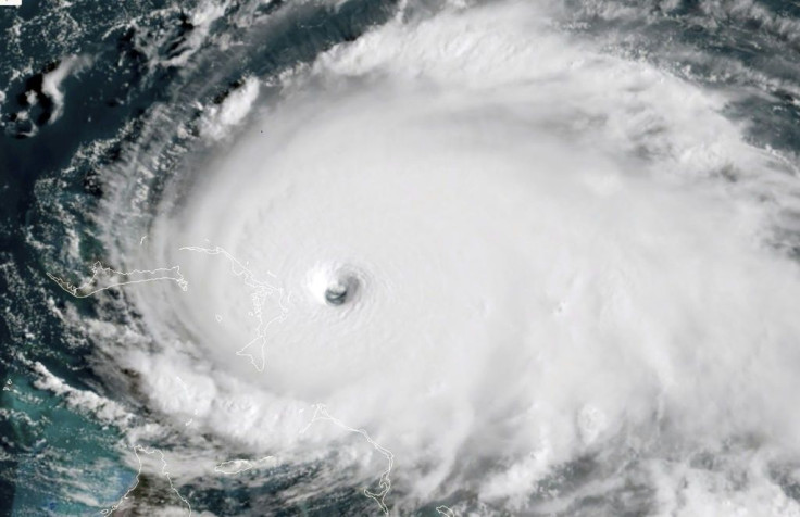
Environmental conditions were becoming more favorable for the storm, which wasexpected to produce plenty of heavy rain and wind gusts to the Bahamas, still reeling from Hurricane Dorian, which made landfall as a category 5 storm.
The new front could become Tropical Storm Humberto but its path is still unclear.
Original models in the U.S. have the storm moving west through central Florida and into the Gulf of Mexico. However, forecasts from Europe have the storm following a similar path to Hurricane Dorian up the Eastern Seaboard. The European model also predicts Humberto to continue gaining strength as it moves up the coast thanks to favorable conditions along the coast and central Atlantic.
© Copyright IBTimes 2025. All rights reserved.
- MOST POPULAR IN National


