

Extreme Weather 2019: Montana Hit With Severe Snowstorm In September
Montana is getting an early start to the winter.
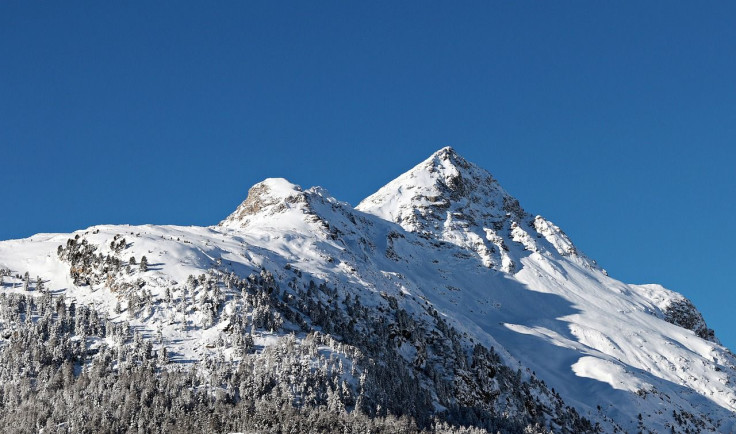
A severe snowstorm hit the state Saturday along the Continental Divide and Rocky Mountain Front, following a smattering of rain Friday. Some areas near the Front have already been buried in over a foot of snow, while the City of Choteau has reported several downed trees and power lines, according to KRTV Great Falls.
Hazardous conditions also led the town of Browning to issue an emergency travel warning. Due to deteriorating road conditions, residents have been urged to stay at home and avoid any travel except in the event of an emergency.
The winter storm warning for north-central portions of the state is expected to remain in effect until Monday, with near-blizzard conditions possible in some areas. Areas of higher elevation near the Rocky Mountain Front could receive 2-3 feet of snow, while lower elevation could see between 5-12 inches.
“If the forecast pans out, this would rival or surpass the 1934 winter storm which was for many areas the top early-season snowfall event on record,” CNN meteorologist Ivan Cabrera said.
September snowfall is not uncommon for the area. However, this amount of precipitation so early is significantly higher than usual.
© Copyright IBTimes 2025. All rights reserved.
- MOST POPULAR IN National


