

Extreme Weather 2019: Tropical Storm Nestor Expected To Form In The Gulf Of Mexico, 500,000 Without Power From Bomb Cyclone In The Northeast
A bomb cyclone lashed the northeastern United States Thursday, disrupting travel and disrupting power to as many as a half-million people.
A storm off the New Jersey coast Wednesday experienced a sharp decrease in pressure, producing the bomb cyclone with the force of a category 2 hurricane. The storm was expected to last into Friday morning.
Airlines were forced to cancel flights and reroute traffic due to sustained winds of 40 mph, with gusts as high as 128 mph, and heavy rainfall across New England and New York. PowerOutages.us reported more than 500,000 people without power.
The nor'easter was described as the strongest storm ever for October, prompting school closings and resulting in downed trees and power lines.
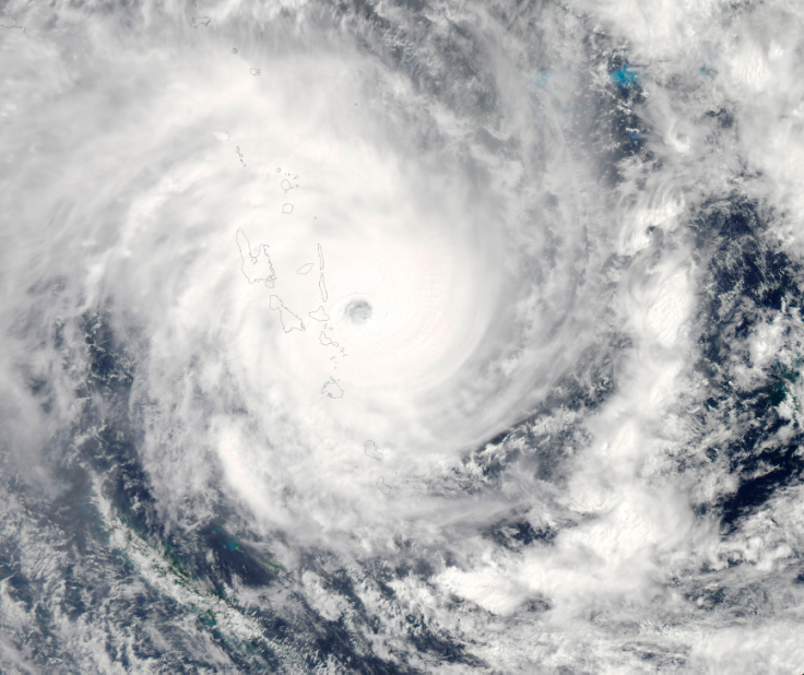
The 16th tropical cyclone, to be dubbed Nestor, of the 2019 Atlantic storm season began forming Thursday.
The National Hurricane Center reported the 16th tropical cyclone of the 2019 Atlantic storm season forming off Mexico and moving toward Texas and Louisiana at 7 mph. with sustained winds of 35 mph.
The NHC also gives the cyclone a 90 percent chance of forming into Tropical Storm Nestor, the 14th named storm of the season, in the next 48 hours.
Current projected paths have the storm shifting northeast toward the coasts of Alabama and Florida, making landfall by Saturday. Tropical storm warnings have been issued across Mississippi, Alabama, Louisiana, and Florida.
“Wind and coastal flooding hazards along the U.S. East Coast will be covered by non-tropical watches and warnings issued by local NWS offices,” the NHC wrote.
© Copyright IBTimes 2025. All rights reserved.
- MOST POPULAR IN National


