NASA Virtual Reality Program Lets Earthlings Explore Planet Via Curiosity Rover
Earth-dwellers can become space explorers with the help of a new virtual reality program that recreates the surface of Mars.
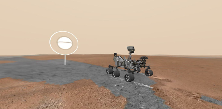
NASA’s Jet Propulsion Laboratory announced that it had worked with Google to create Access Mars out of images and other data that the space agency’s Curiosity rover sent back from the Martian surface — the same data that scientists have been exploring with virtual reality equipment for the last few years. Now anyone with a VR headset can walk the same paths that astronomers have surveyed and the rover has rolled over.
The program launched yesterday. Users can also open up the free program on a desktop computer or a mobile device.
In addition to observing the terrain on Mars, people who launch the NASA program can learn about how Curiosity landed on the Red Planet in 2012 and about the key sites it has explored during its time there. Those include Murray Buttes, Marias Pass, Pahrump Hills and Mount Sharp, where it is currently located.
At Mount Sharp, Curiosity’s mission is to learn about the history of water in that area of Mars. The accumulated layers of the rock at the site built up while it was still underwater, so the sediment contains clues about Martian history going back billions of years.
Access Mars will be updated as Curiosity continues its journey and sends back more data.
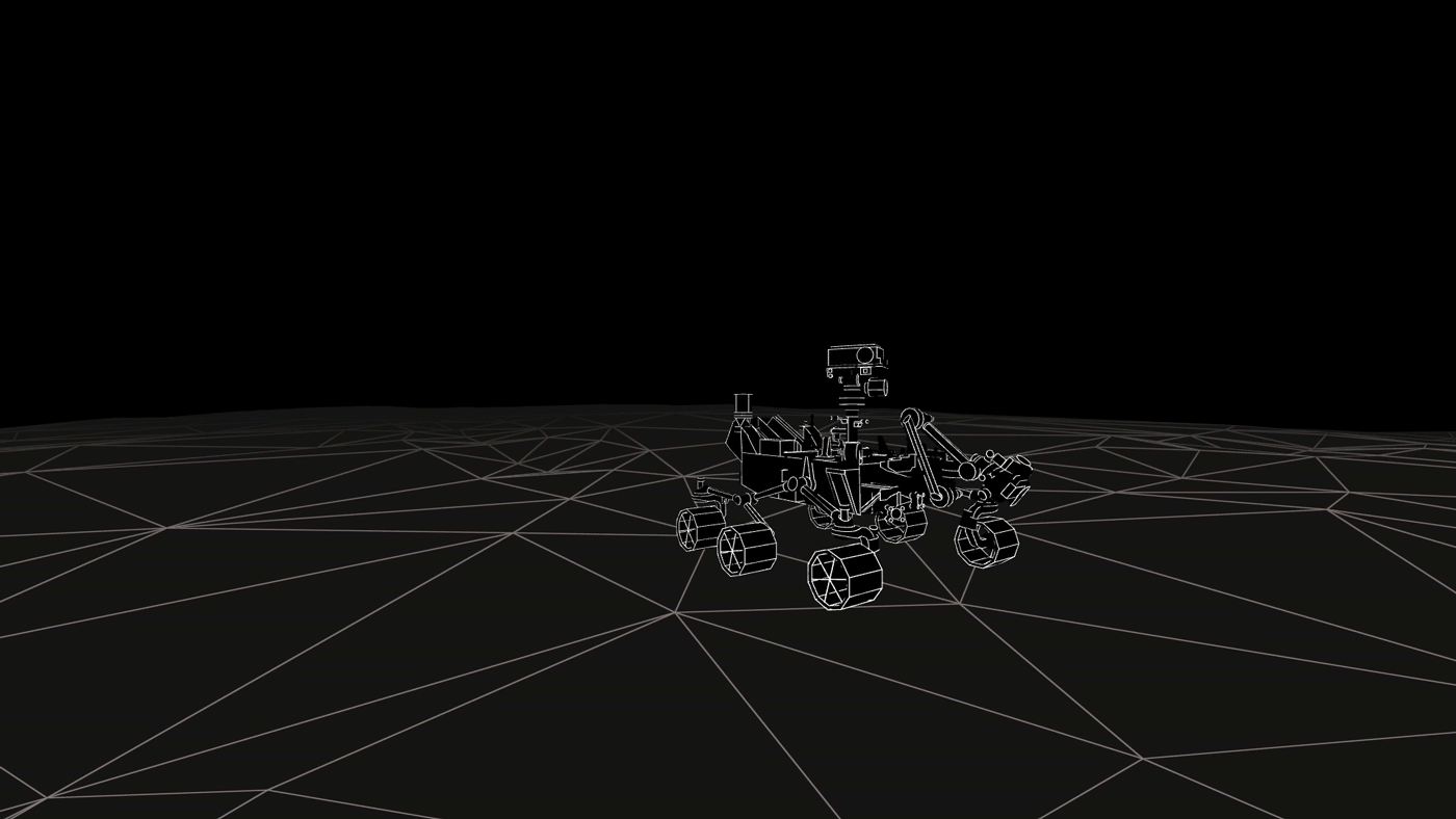
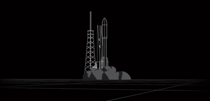
When user start the program, it begins with an introduction that shows an Atlas rocket lifting off with Curiosity aboard. The view then touches down on Mars, where you can navigate the surface and click on different “points of interest” to learn more about them.
“Imagery from NASA’s Curiosity rover provided the terrain, allowing users to wander the actual dunes and valleys explored by the spacecraft,” NASA said. “Users can zero in on objects of scientific interest, including rock outcrops and mud cracks.”
JPL uses software called OnSight to work with the images and look around the planet and the program was based on that software.
“We've been able to leverage VR and AR technologies to take our scientists to Mars every single day,” NASA’s Victor Luo, who worked on the project, said in the statement. “With Access Mars, everyone in the world can ride along.”
It’s not the first time NASA data has been used to help people explore other worlds. Earlier this week, Google Maps added to its roster of planets and moons, allowing everyone to look around the dwarf planet Pluto and a bunch of moons of Saturn and Jupiter, among other places. The whole lineup now totals 17 locations: all the inner planets, the moon, the International Space Station, two dwarf planets and nine outer solar system moons.
NASA describes the new program as “a visceral impression of what it would be like to walk alongside Curiosity, wandering through the lonely, red desert.”
“Immersive technology has incredible potential as a tool for scientists and engineers,” Luo said. “It also lets us inspire and engage the public in new ways.”
© Copyright IBTimes 2026. All rights reserved.
- MOST POPULAR IN Technology