

Blasts Of Cold Wind To Bring Early Winter With Record Low Temperatures In Eastern US
After experiencing the warmest October, blasts of record cold winds will bring about an early winter for millions of people living in the central and eastern U.S.
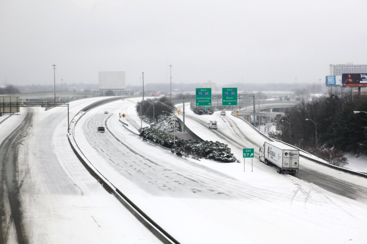
Two storm systems will be moving east carrying snow and heavy rain in some areas. The first round of snow which will be moving from the north-central areas to north-eastern areas would bring up to 4 inches of snow in the areas of Great Lakes and Upper Midwest.
Four states from Minnesota to Michigan will experience snowfall beginning early Wednesday morning, which will make the weather feel like mid-winter rather than early November. The cold will then sweep into the interior portions of Northeast from Thursday to Friday.
The first shot of deepening cold will be ushered in by a storm bringing soaking rain to portions of the South and disruptive snow to portions of the Northeast. https://t.co/pr5DL0leSH pic.twitter.com/1HxsHbUotj
— AccuWeather (@accuweather) November 5, 2019
By Thursday night, New England will experience heavy snow inland with rains and wind along the coast.
The cold will then move to the south by Friday night, with high chances of temperature dipping below freezing in these areas.
The temperatures are going to dip further next week, 10-20 degrees lower than the typical November weather, as an even chillier blast of Arctic winds, will blow across the nation.
"A widespread killing freeze is likely to end the growing season across much of the South early next week," AccuWeather's Dan Kottlowski told USA Today.
According to weather.com, the cold arctic winds would be caused due to a jet stream pattern, which is delivering cold air from Canada, covering most of the eastern two-thirds of the nation. The cold winds could also bring brief periods of snow to NYC and Boston areas.
Areas in the southern Plains, including areas from Oklahoma to Missouri, would experience heavy rains. Flash flooding is also possible in these areas, as they could receive upto 3 inches of rainfall.
© Copyright IBTimes 2025. All rights reserved.
- MOST POPULAR IN National


